

Épuisé, mais très demandé!


Paramètres
- 208pages
- 8 heures de lecture
En savoir plus sur le livre
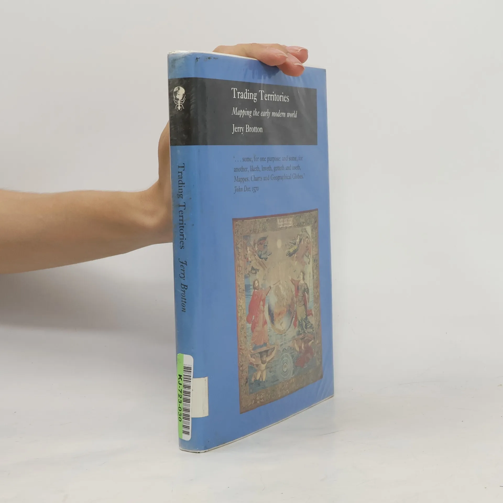
Trading Territories is a beautifully illustrated book that offers a new account of the status of maps and geographical knowledge in the early modern world. Situating the rise of early modern mapping within the context of the sea-borne commercial adventures of the early maritime empires, Jerry Brotton argues that it was trade, diplomacy, and financial speculation that defined the development of early maps and globes, rather than the disinterested intellectual pursuit of scientific accuracy and objectivity.
Achat du livre
Reaktion Books - Picturing History: Trading Territories, Jerry Brotton
- Langue

- Année de publication
- 1997
- Reliure
- (rigide)
Nous vous informerons par e-mail dès que nous l’aurons retrouvé.
Modes de paiement
Personne n'a encore évalué .
- Titre
- Reaktion Books - Picturing History: Trading Territories
- Sous-titre
- Mapping the Early Modern World
- Langue
- Anglais
- Auteurs
- Jerry Brotton
- Éditeur
- Reaktion Books
- Publié
- 1997
- Format
- rigide
- Pages
- 208
- ISBN10
- 1861890117
- ISBN13
- 9781861890115
- Séries
- Mots clés
- Thème historique, Technologie, Cartographie, Géographie historique
- Description
- Trading Territories is a beautifully illustrated book that offers a new account of the status of maps and geographical knowledge in the early modern world. Situating the rise of early modern mapping within the context of the sea-borne commercial adventures of the early maritime empires, Jerry Brotton argues that it was trade, diplomacy, and financial speculation that defined the development of early maps and globes, rather than the disinterested intellectual pursuit of scientific accuracy and objectivity.