

Épuisé, mais très demandé!


Paramètres
- 208pages
- 8 heures de lecture
En savoir plus sur le livre
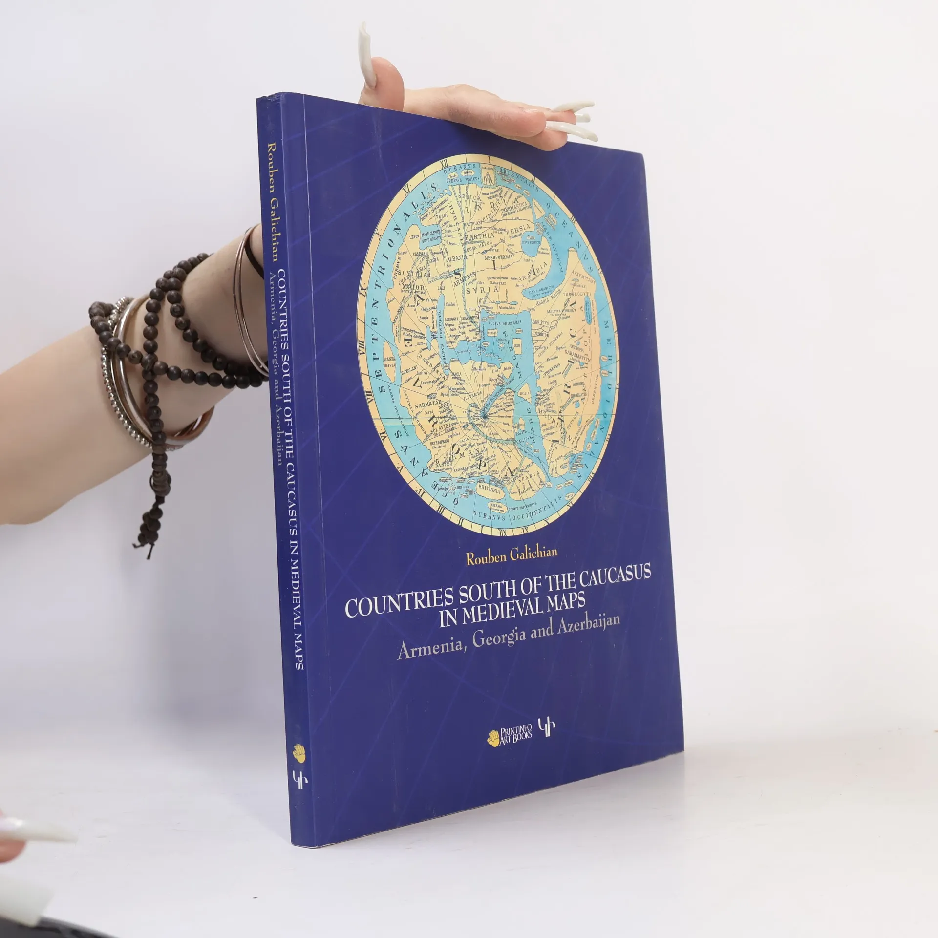
This work presents the medieval historical cartography of the south Caucasus. Volume contains 82 mediaeval maps with 24 details from Latin, Byzantine, Islamic, Syriac and Armenian traditions. 98 of these illustrations are in full colour. Co-published by Gomidas Institute (London) and PrintInfo (Yerevan).
Achat du livre
Countries of the Caucasus in Medieval Maps, Rouben Galichian
- Langue

- Année de publication
- 2007
- Reliure
- (souple)
Nous vous informerons par e-mail dès que nous l’aurons retrouvé.
Modes de paiement
Personne n'a encore évalué .
- Titre
- Countries of the Caucasus in Medieval Maps
- Sous-titre
- Armenia, Georgia and Azerbaijan
- Langue
- Anglais
- Auteurs
- Rouben Galichian
- Éditeur
- Gomidas Institute
- Publié
- 2007
- Format
- souple
- Pages
- 208
- ISBN10
- 1903656699
- ISBN13
- 9781903656693
- Séries
- Mots clés
- Thème historique, Technologie, Europe de l'Est, Cartographie, Géographie historique, Géorgie, Arménie
- Description
- This work presents the medieval historical cartography of the south Caucasus. Volume contains 82 mediaeval maps with 24 details from Latin, Byzantine, Islamic, Syriac and Armenian traditions. 98 of these illustrations are in full colour. Co-published by Gomidas Institute (London) and PrintInfo (Yerevan).