

En savoir plus sur le livre
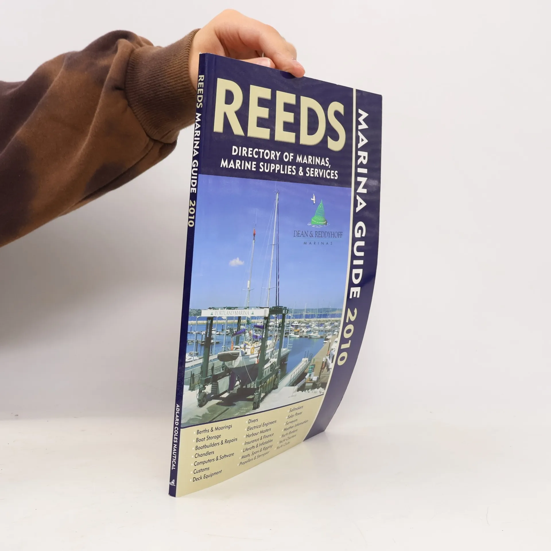
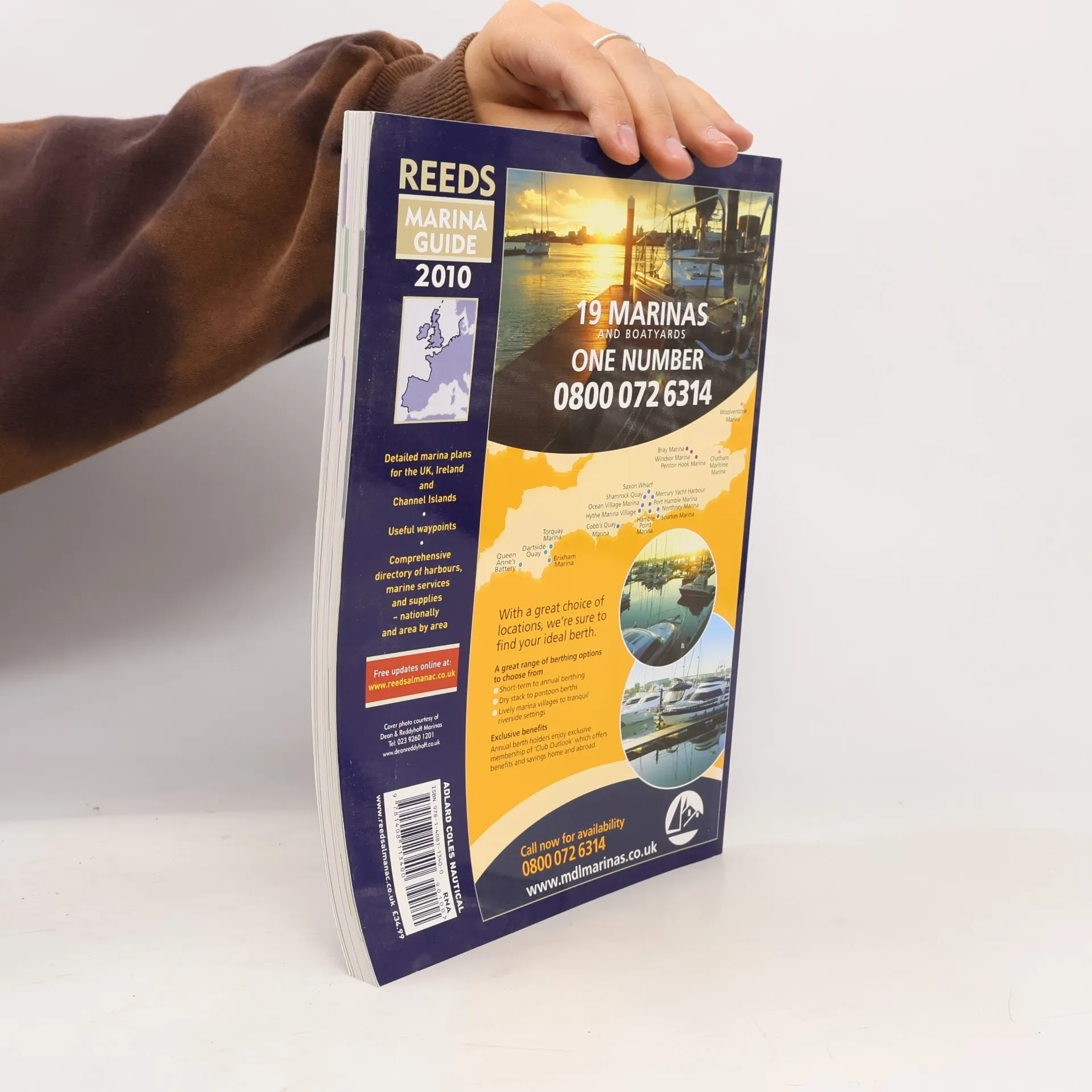
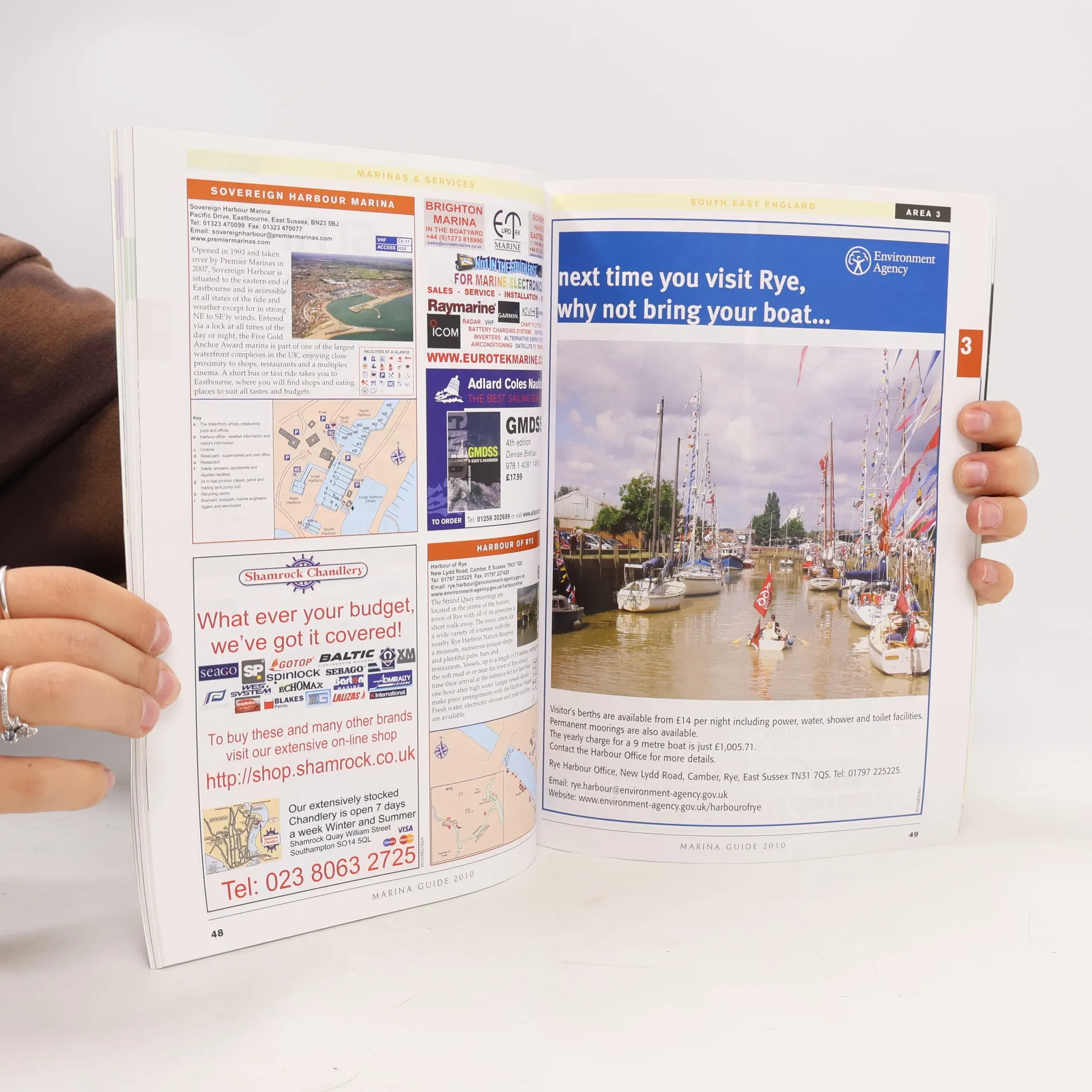
Reeds Nautical Almanac is the indispensable annual compendium of navigational data for yachtsmen, and provides all the information required to navigate Atlantic coastal waters around the whole of the UK, Ireland, Channel Islands and the entire European coastline from the tip of Denmark right down to Gibraltar, Northern Morocco and the Azores. The 2010 edition continues the Almanac 's tradition of year on year improvement and meticulous presentation of all the data required for safe navigation. Now with an improved layout for easier reference and with over 45,000 annual changes, it is regarded as the bible of almanacs for anyone going to sea. 700 chartlets, Harbour facilities, Tide tables and streams, 7500 waypoints, International codes and flags, Weather, Distance tables, Passage advice, Area planning charts, Rules of the road, Radio information, Communications, Safety, Documentation and Customs. Includes a free Reeds Marina Guide .
Achat du livre
Reeds Nautical Almanac 2010, Andy Du Port, Rob Buttress
- Langue

- Année de publication
- 2009
- Reliure
- (souple),
- État du livre
- Bon
- Prix
- 6,49 €
Modes de paiement
Personne n'a encore évalué .
- Titre
- Reeds Nautical Almanac 2010
- Langue
- Anglais
- Auteurs
- Andy Du Port, Rob Buttress
- Éditeur
- Reeds
- Publié
- 2009
- Format
- souple
- Pages
- 1088
- ISBN10
- 1408113406
- ISBN13
- 9781408113400
- Séries
- Mots clés
- Manuels et guides, Sport, Europe, Sports nautiques, Navigation
- Description
- Reeds Nautical Almanac is the indispensable annual compendium of navigational data for yachtsmen, and provides all the information required to navigate Atlantic coastal waters around the whole of the UK, Ireland, Channel Islands and the entire European coastline from the tip of Denmark right down to Gibraltar, Northern Morocco and the Azores. The 2010 edition continues the Almanac 's tradition of year on year improvement and meticulous presentation of all the data required for safe navigation. Now with an improved layout for easier reference and with over 45,000 annual changes, it is regarded as the bible of almanacs for anyone going to sea. 700 chartlets, Harbour facilities, Tide tables and streams, 7500 waypoints, International codes and flags, Weather, Distance tables, Passage advice, Area planning charts, Rules of the road, Radio information, Communications, Safety, Documentation and Customs. Includes a free Reeds Marina Guide .