Road Atlas
South Africa: Latest Computer Mapping With Latitude And Longitude Co-Ordinates - 13th Edition
- 158pages
- 6 heures de lecture


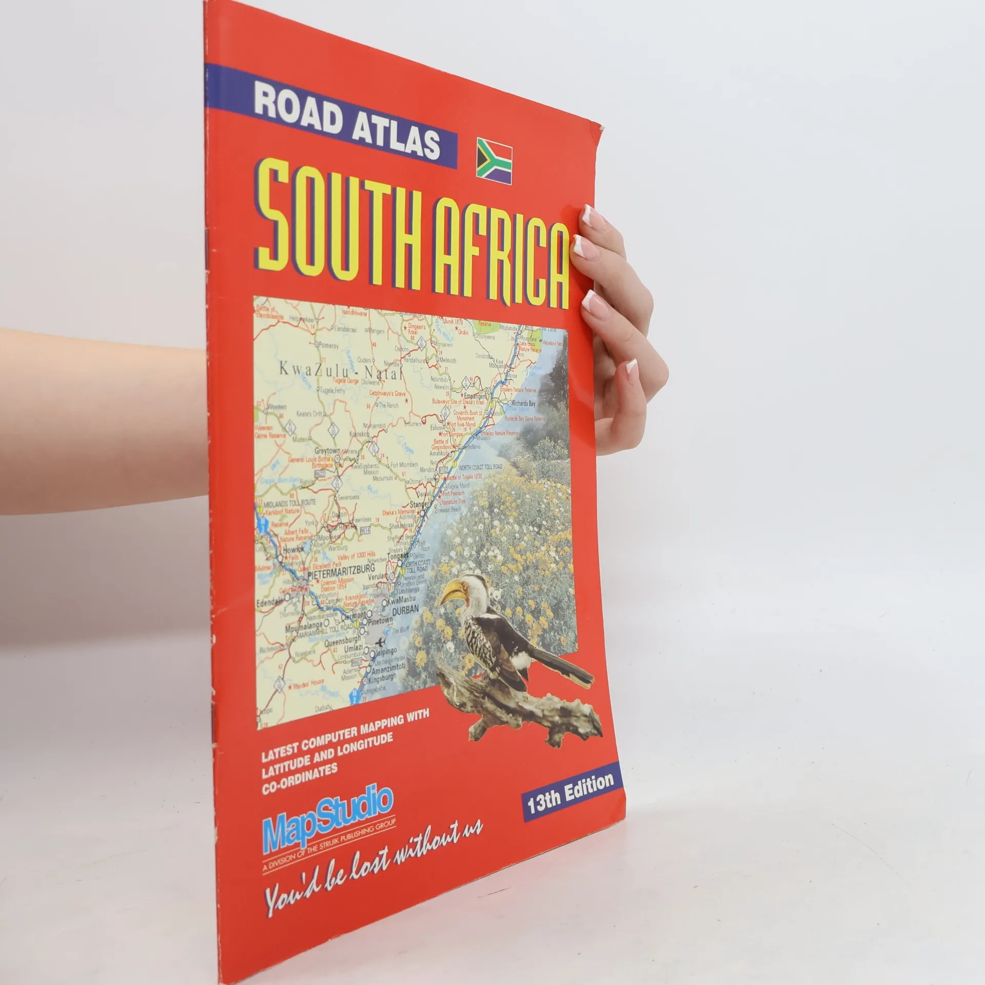
South Africa: Latest Computer Mapping With Latitude And Longitude Co-Ordinates - 13th Edition
Index to Streets & Suburbs, Parks & Nature Reserves, Numbered Routes, Industrial Areas, Freeways, Interchanges, Places of Interest, and Geographical Co-ordinates - 10th Edition
Overview maps - Africa, parks of Africa, towns of Africa & adventures in Africa; alphabetical quickfinder; countries covered - all African; countries including Indian Ocean islands; Keyplan to atlas section - Southern Africa at 1.5 million, Northern Africa at 3 million & Indian Islands.