

Épuisé
En savoir plus sur le livre
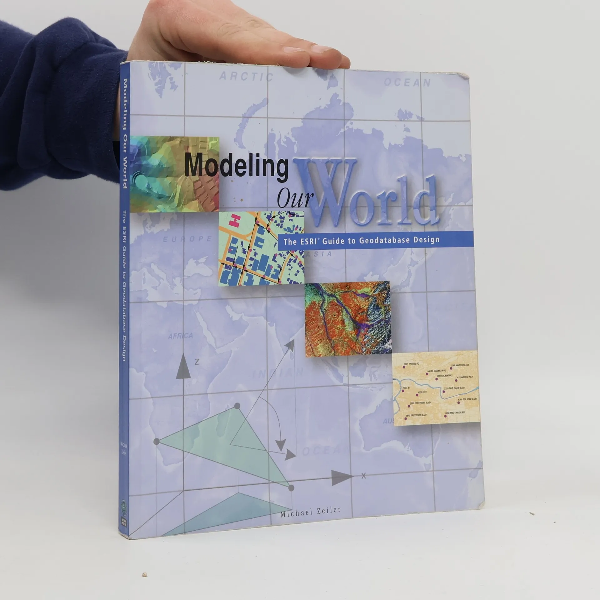
Geographic data models are digital frameworks that describe the location and characteristics of things in the world around us. With a geographic information system, we can use these models as lenses to see, interpret, and analyze the infinite complexity of our natural and man-made environments. With the geodatabase, a new geographic data model introduced with ArcInfo 8, you can extend significantly the level of detail and range of accuracy with which you can model geographic reality in a database environment.
Achat du livre
Modeling Our World, Michael Zeiler
- Langue

- Année de publication
- 1999
- Reliure
- (souple)
Nous vous informerons par e-mail dès que nous l’aurons retrouvé.
Modes de paiement
Il manque plus que ton avis ici.
- Titre
- Modeling Our World
- Sous-titre
- The ESRI Guide to Geodatabase Design
- Langue
- Anglais
- Auteurs
- Michael Zeiler
- Éditeur
- ESRI Press
- Publié
- 1999
- Format
- souple
- Pages
- 200
- ISBN10
- 1879102625
- ISBN13
- 9781879102620
- Séries
- Catégories
- Mots clés
- Science, Technologie
- Évaluation
- 3,65 sur 5
- Description
- Geographic data models are digital frameworks that describe the location and characteristics of things in the world around us. With a geographic information system, we can use these models as lenses to see, interpret, and analyze the infinite complexity of our natural and man-made environments. With the geodatabase, a new geographic data model introduced with ArcInfo 8, you can extend significantly the level of detail and range of accuracy with which you can model geographic reality in a database environment.