

Exactement cet exemplaire ira dans le panier
En savoir plus sur le livre
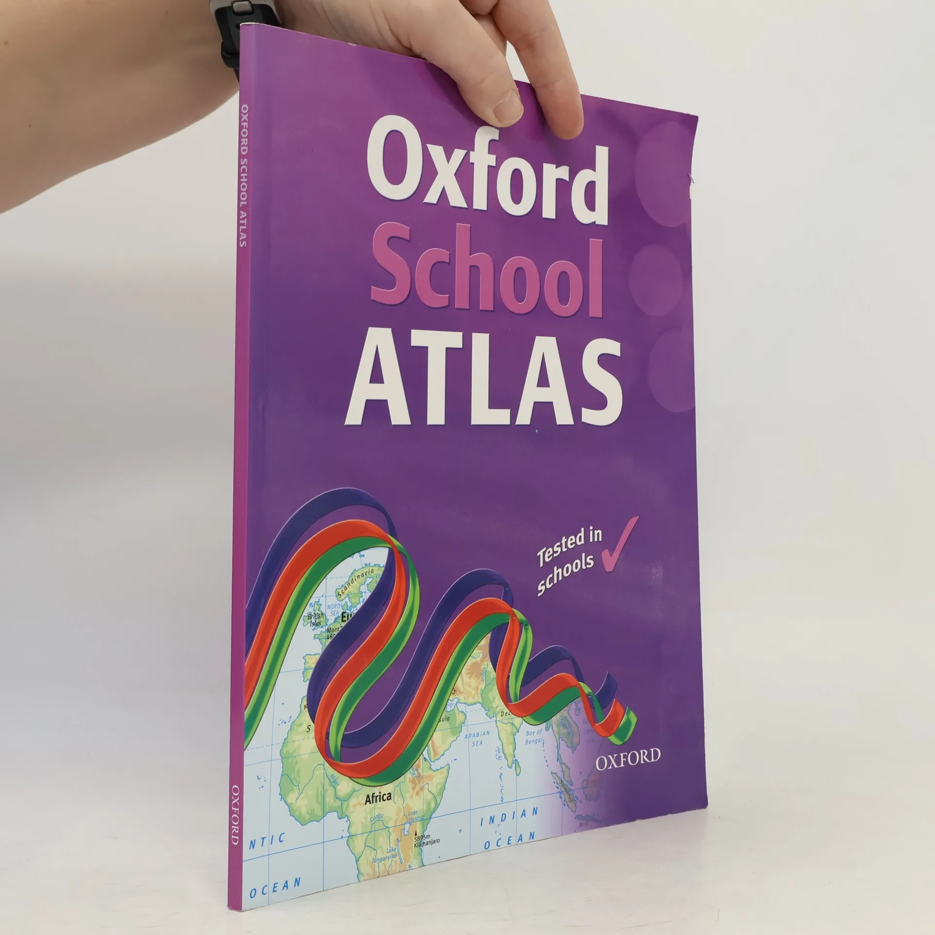
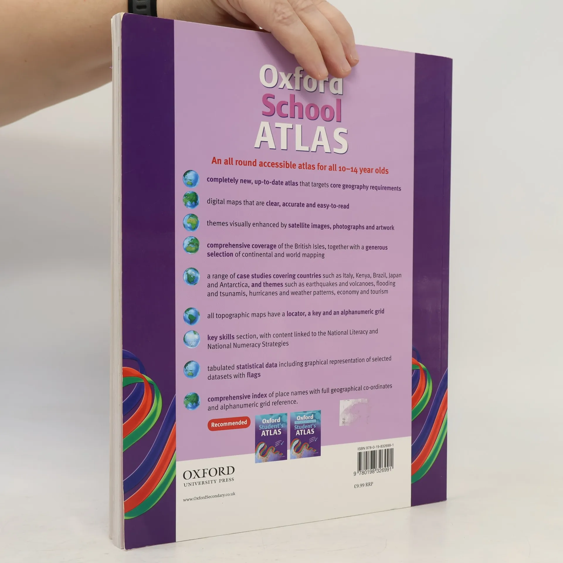
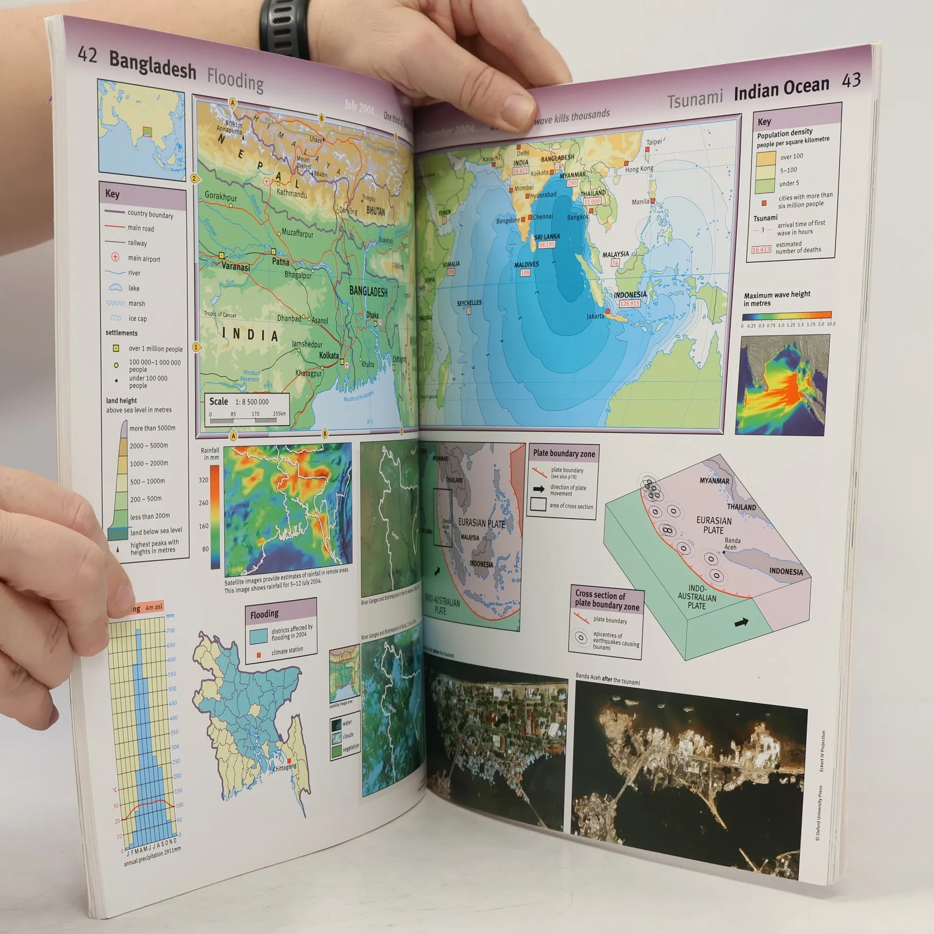
This is a revised and updated edition with digital maps that are accurate and easy-to-read. Satellite images, photographs and artwork are used to enhance the themes. The mapping is very clear, the level of detail accessible to all 10+ geographers and the topics specifically chosen to cover thekey curriculum requirements. Easy-to-use features include a multi-access contents page, clear explanations of graphics, country data files, 1 two-colour index of place names, and flags of the world at a usable size. There is comprehensive coverage of the British Isles, together with continental andworld mapping and a world statistical section.
Achat du livre
Oxford School Atlas, Dr Patrick Wiegand
- Langue

- Année de publication
- 2008
- Reliure
- (souple),
- État du livre
- Bon
- Prix
- 7,29 €
Modes de paiement
Personne n'a encore évalué .
- Titre
- Oxford School Atlas
- Langue
- Anglais
- Auteurs
- Dr Patrick Wiegand
- Éditeur
- Oxford University Press
- Publié
- 2008
- Format
- souple
- Pages
- 96
- ISBN10
- 0198326998
- ISBN13
- 9780198326991
- Séries
- Mots clés
- Manuels et guides, Atlas
- Description
- This is a revised and updated edition with digital maps that are accurate and easy-to-read. Satellite images, photographs and artwork are used to enhance the themes. The mapping is very clear, the level of detail accessible to all 10+ geographers and the topics specifically chosen to cover thekey curriculum requirements. Easy-to-use features include a multi-access contents page, clear explanations of graphics, country data files, 1 two-colour index of place names, and flags of the world at a usable size. There is comprehensive coverage of the British Isles, together with continental andworld mapping and a world statistical section.