Guidebook to walking the entire South West Coast Path National Trail. The route stretches 630 miles from Minehead to Poole along the north Devon, Cornish, south Devon and Dorset coastline. Divided into 45 stages, this national trail could be completed within 4 weeks, or walked in sections. Guide includes maps and essential information.
Paddy Dillon Livres


A walking guidebook to the Cleveland Way and Yorkshire Wolds Way National Trails, plus the Tabular Hills Walk. Crossing the North York Moors National Park, coastal scenery and quiet countryside, the three routes can be joined to create an easy circular route of over 250 miles (400km). Includes an OS 1:25K map booklet of the Cleveland Way.
This guidebook provides a comprehensive and detailed description of the GR131, an island-hopping trail across the seven Canary Islands. The 560km (348 mile) route begins on Lanzarote and finishes on El Hierro and is presented in 32 daily stages. The route is well waymarked but some navigational skills are required, and the remote and occasional rocky sections need to be treated with care. Also included is an optional ascent of El Teide, the highest peak on Spanish territory at 3718m. The guide is split into seven parts, one for each island. Overview statistics, detailed navigational description and 1:50,000 mapping is provided for each stage and the guide also includes key information about transport to and between the Canary Islands and availability of accommodation and services. There is background information on the geology, history, plants and wildlife and notes on local points of interest. An appendix contains a helpful glossary. As a geologically young area, the Canaries boast rare wildlife across their dramatic volcanic terrain. The islands contain a number of national parks, and the landscape varies from semi-desert to forests and barren mountainsides. This month-long route is a great opportunity for walkers to fully immerse themselves in the diverse culture and scenery of the Canary Islands.
Guidebook to Corsica's GR20, one of Europe's classic treks. The most challenging of the GR long-distance routes, the trail crosses remote mountain terrain and involves plenty of hands-on scrambling. Includes information about accommodation, refreshments and facilities and a separate booklet showing the entire route on IGN 1:25,000 maps.
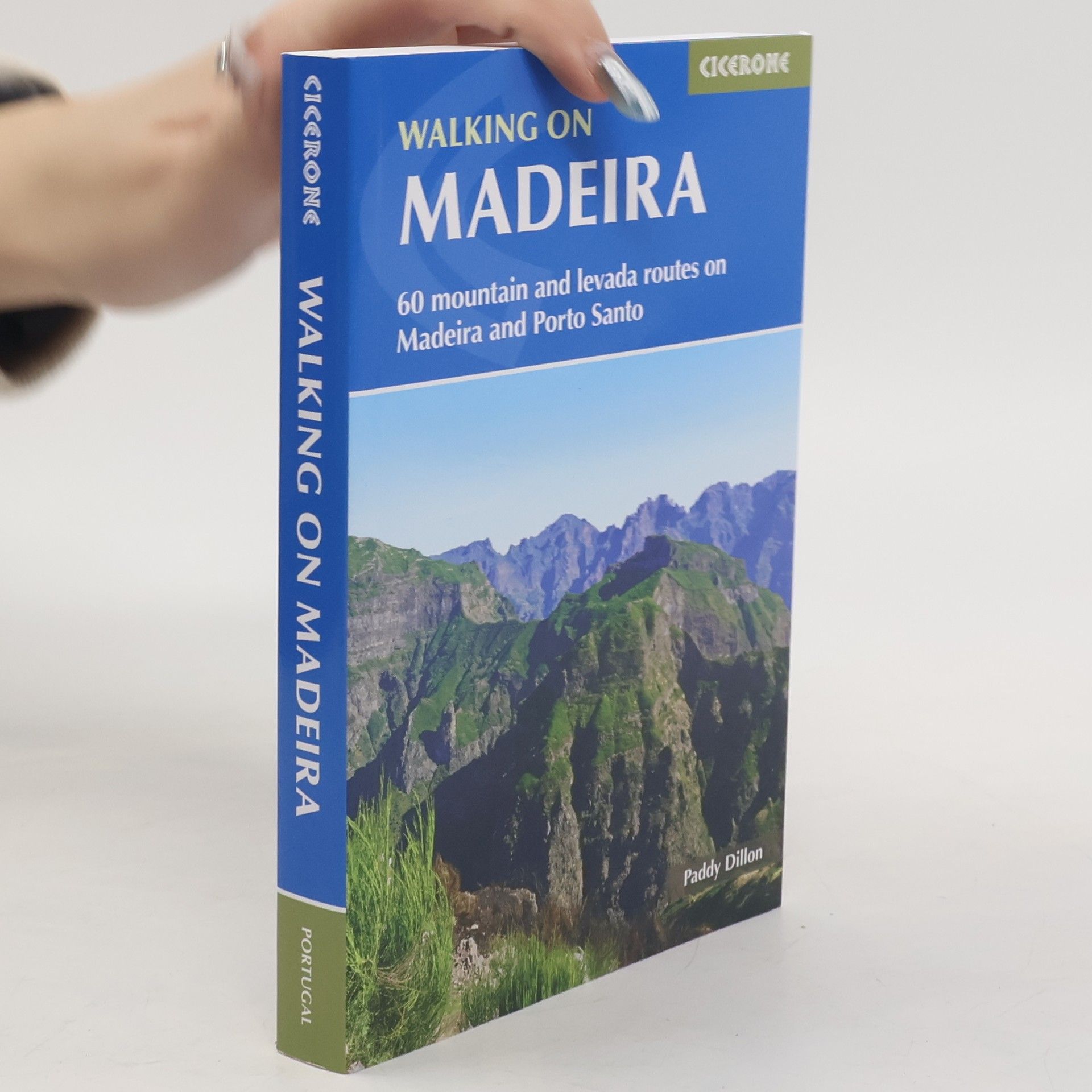
Walking on Madeira
- 320pages
- 12 heures de lecture
Describes a varied selection of 57 day walks on the island of Madeira, exploring the dramatic cliff coastline, scenic levadas, dense laurisilva 'cloud' forests and high mountain peaks, plus three walks on neighbouring Porto Santo
Walking on La Gomera and El Hierro
- 264pages
- 10 heures de lecture
Walking guide to the islands of La Gomera and El Hierro. The 45 waymarked routes in this guidebook include easy strolls and hands-on scrambles, day walks and long-distance routes including the GR132 and parts of the GR131, which runs the whole length of the Canary Islands. Walks are spread in the guide roughly clockwise and where walks are located beside each other, links between them are often possible, giving you the opportunity to make your own alterations. The routes are described over both islands, with 27 walks on La Gomera and 18 on El Hierro, illustrated with clear contour mapping and inspirational photography. The two smallest of the Canary Islands are no less rugged than their volcanic neighbours, offering a wide variety of little-known walking terrain from steep-sided barrancos and dramatic cliffs to the gentler slopes inland cloaked in laurisilva and pine forests.
A guidebook to 11 easy walks (2.5 to 16km) and 4 boat trips on the Scilly Isles. The routes explore Tresco, St Martin's, St Mary's and Bryher, as well as some of the smaller islands, all designated as an AONB. The guide includes information on the history, geology and ecology of the islands, which are designated as Heritage coast.
Guidebook to 70 walks on the Azores, a remote archipelago in the North Atlantic Ocean. Most of the walks are easy or moderate, with a few graded difficult. The selection is spread across all nine islands, offering much variety, from easy village-to-village walks to remote and mountainous walks, including Portugal's highest mountain, Pico.
Guidebook describing 24 day walks on Jersey in the Channel Isles. Parts of many routes can be combined to make longer ones, including the 48 mile Jersey Coastal Walk and part of the Channel Islands Way. Walks are between 3 and 8 miles, mainly on good paths and tracks, although occasionally rugged cliff paths explore the beautiful coastline.
Trekking in Greenland : the Arctic Circle Trail : from Kangerlussuag to Sisimiut
- 128pages
- 5 heures de lecture
An essential guidebook for hiking the Arctic Circle Trail. At just over 100 miles long, and taking 7 to 10 days to complete, the Arctic Circle Trail crosses the largest ice-free patch of West Greenland. This splendid backpacking route, lying 25-30 miles north of the Arctic Circle runs from Kangerlussuaq to Sisimiut - both with airport access.

