
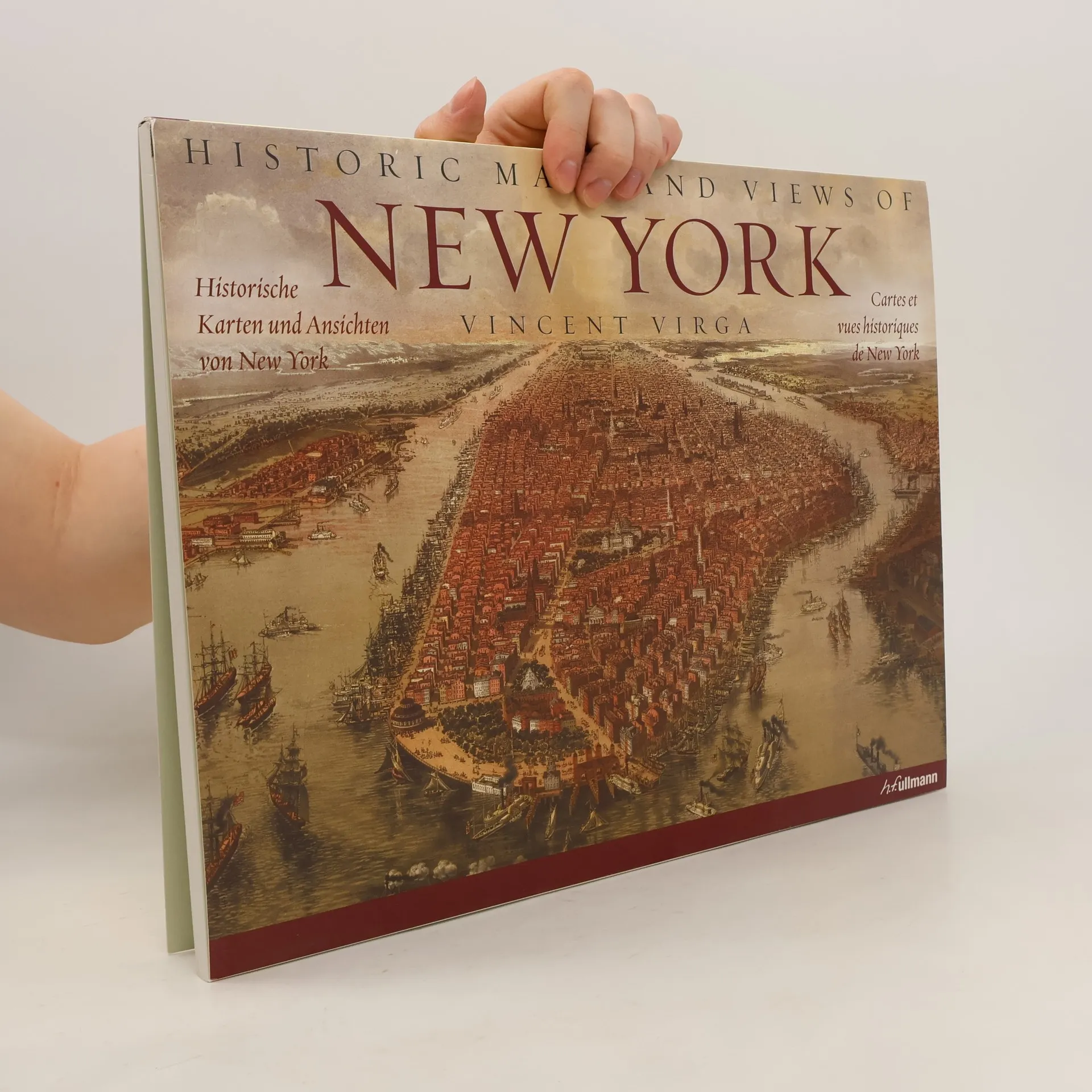
Vingt-quatre cartes et vues historiques de New York et de ses environs, datant des années 1600 à nos jours. Cette collection fascinante comprend l'une des premières cartes connues de Manhattan, une carte détaillée de Central Park, une carte topographique complète de l'île de Manhattan, une carte du métro ancienne, des aperçus de Brooklyn et du Queens, et bien plus encore. Les informations d'impression originales de chaque carte sont fournies, ainsi que des informations supplémentaires qui les replacent dans un contexte historique et éclairent davantage leurs caractéristiques. Chaque carte est magnifiquement reproduite pour mettre en valeur sa couleur et ses détails.
Vincent Virga Livres
Vincent Virga est célébré comme "le premier éditeur d'images d'Amérique", un titre obtenu grâce à son travail considérable sur plus de 150 livres. Il possède une profonde capacité à rechercher, éditer et concevoir des récits visuels, fusionnant parfaitement les images avec le texte. Son expertise réside dans la création d'histoires visuelles captivantes et d'essais photographiques qui résonnent profondément auprès des lecteurs. Au-delà de ses contributions éditoriales acclamées, Virga est également un auteur accompli, démontrant un talent polyvalent pour la narration.
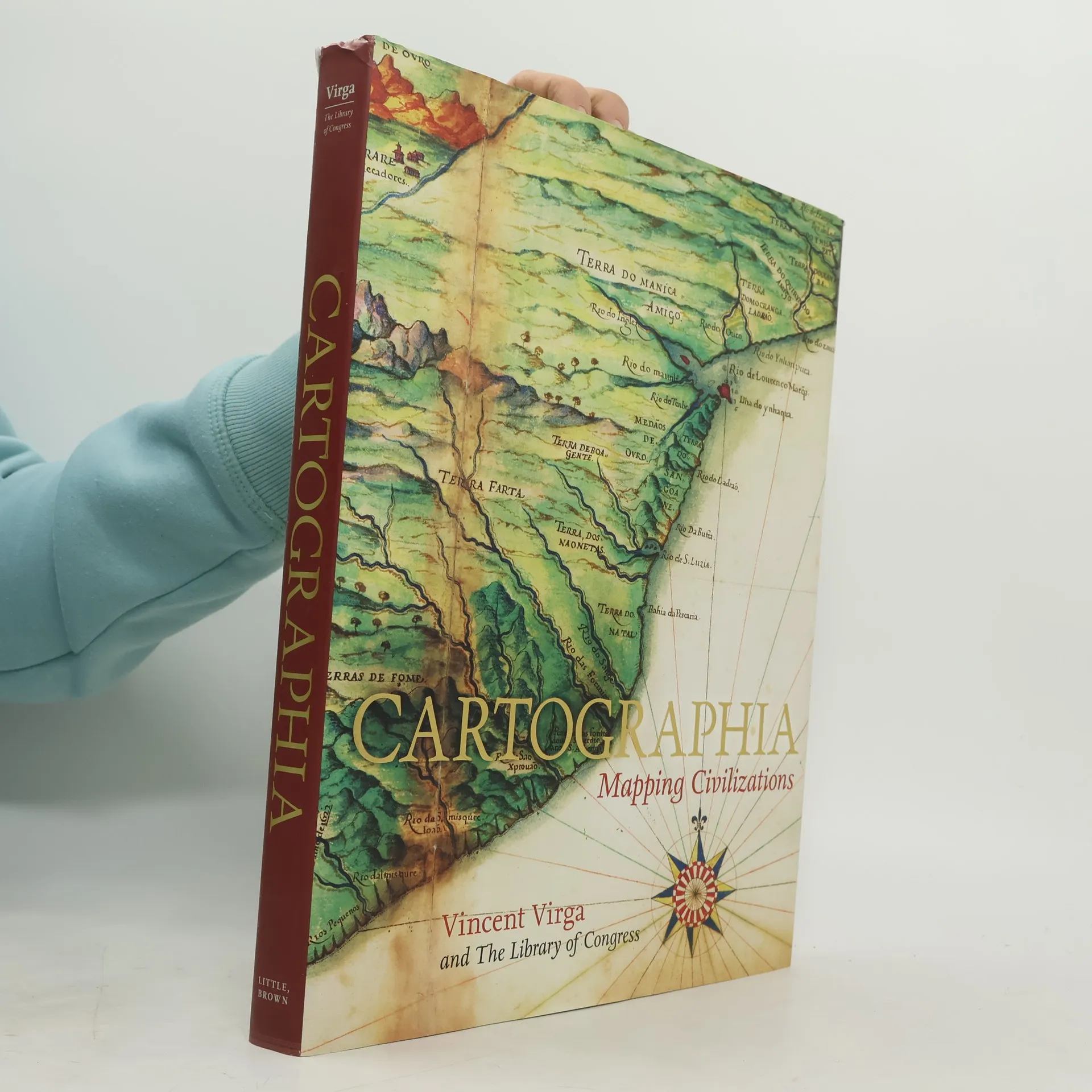
Cartographia: Mapping Civilizations
- 272pages
- 10 heures de lecture
CARTOGRAPHIA offers a stunning array of 200 of the most beautiful, important, and fascinating maps in existence, from the world's largest cartographic collection, at the Library of Congress. These maps show how our idea of the world has shifted and grown over time, and each map tells its own unique story about nations, politics, and ambitions. The chosen images, with their accompanying stories, introduce the reader to an exciting new way of "reading" maps as travelogues---living history from the earliest of man's imaginings about planet earth to our current attempts at charting cyberspace. Among the rare gems included in the book are the Waldseemuller Map of the World from 1507, the first to include the designation "America"; pages from the Ortelius's Theatrum Orbis Terrarum of 1570, considered the first modern atlas; rare maps from Africa, Asia, and Oceania that challenge traditional Western perspectives; William Faulkner's hand-drawn 1936 map of the fictional Yoknapatawpha County, Mississippi; and even a map of the Human Genome. In an oversized format, with gorgeous four-color reproductions throughout, Catrographia will appeal to collectors, historians, and anyone looking for a perfect gift.