

En savoir plus sur le livre
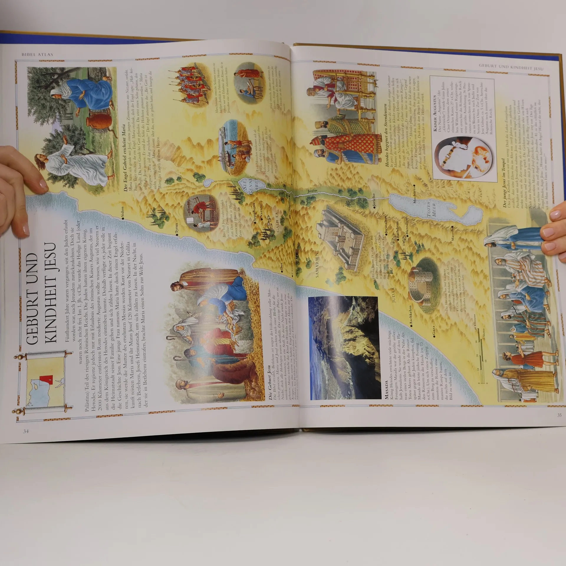
A beautiful pictorial atlas charting the lands of the Bible, bringing the stories of the Bible to life in an exciting new way. Have you ever wondered where the amazing stories of the Bible took place? Which route Moses and the Israelites followed to get to Canaan? The size of the Roman Empire at the time of Jesus's birth? How far the Persian Empire stretched at its peak? The Bible Atlas covers all this and much more. The Bible Atlas examines the geography of the Holy Lands and the great nations that rules them. It looks at the lives of the people of the Old and New Testaments -- how they lived, traveled, and worshipped. And some of the most dramatic and important events of the Bible are lyrically retold with beautifully illustrated scenes that bring the stories to life. Archeological remains of some of the most important biblical sites are included, which modern-day pictures show the Holy Lands as they are today. With lively, authoritative text and beautifully detailed maps, the Bible Atlas takes us on a fascinating journey.


Achat du livre
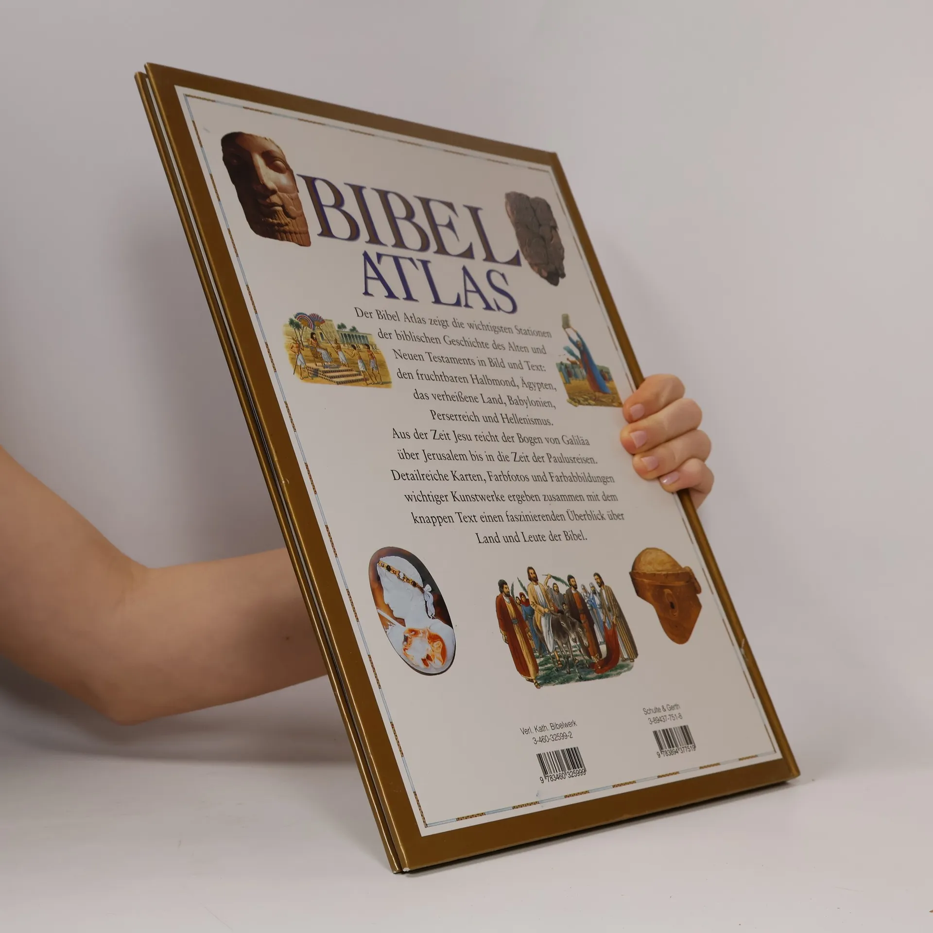
Bibel-Atlas, Smith Sadie, Stephen Motyer, Brian Delf
- Langue

- Année de publication
- 2001
- product-detail.submit-box.info.binding
- (souple),
- État du livre
- Bon
- Prix
- 2,49 €
Modes de paiement
Personne n'a encore évalué .
- Titre
- Bibel-Atlas
- Langue
- Allemand
- Auteurs
- Smith Sadie, Stephen Motyer, Brian Delf
- Éditeur
- Gerth Medien
- Publié
- 2001
- Format
- souple
- Pages
- 48
- ISBN10
- 3894377518
- ISBN13
- 9783894377519
- Séries
- Mots clés
- Esotérisme & Religion, Thèmes religieux, Religion
- Description
- A beautiful pictorial atlas charting the lands of the Bible, bringing the stories of the Bible to life in an exciting new way. Have you ever wondered where the amazing stories of the Bible took place? Which route Moses and the Israelites followed to get to Canaan? The size of the Roman Empire at the time of Jesus's birth? How far the Persian Empire stretched at its peak? The Bible Atlas covers all this and much more. The Bible Atlas examines the geography of the Holy Lands and the great nations that rules them. It looks at the lives of the people of the Old and New Testaments -- how they lived, traveled, and worshipped. And some of the most dramatic and important events of the Bible are lyrically retold with beautifully illustrated scenes that bring the stories to life. Archeological remains of some of the most important biblical sites are included, which modern-day pictures show the Holy Lands as they are today. With lively, authoritative text and beautifully detailed maps, the Bible Atlas takes us on a fascinating journey.