
Épuisé

En savoir plus sur le livre
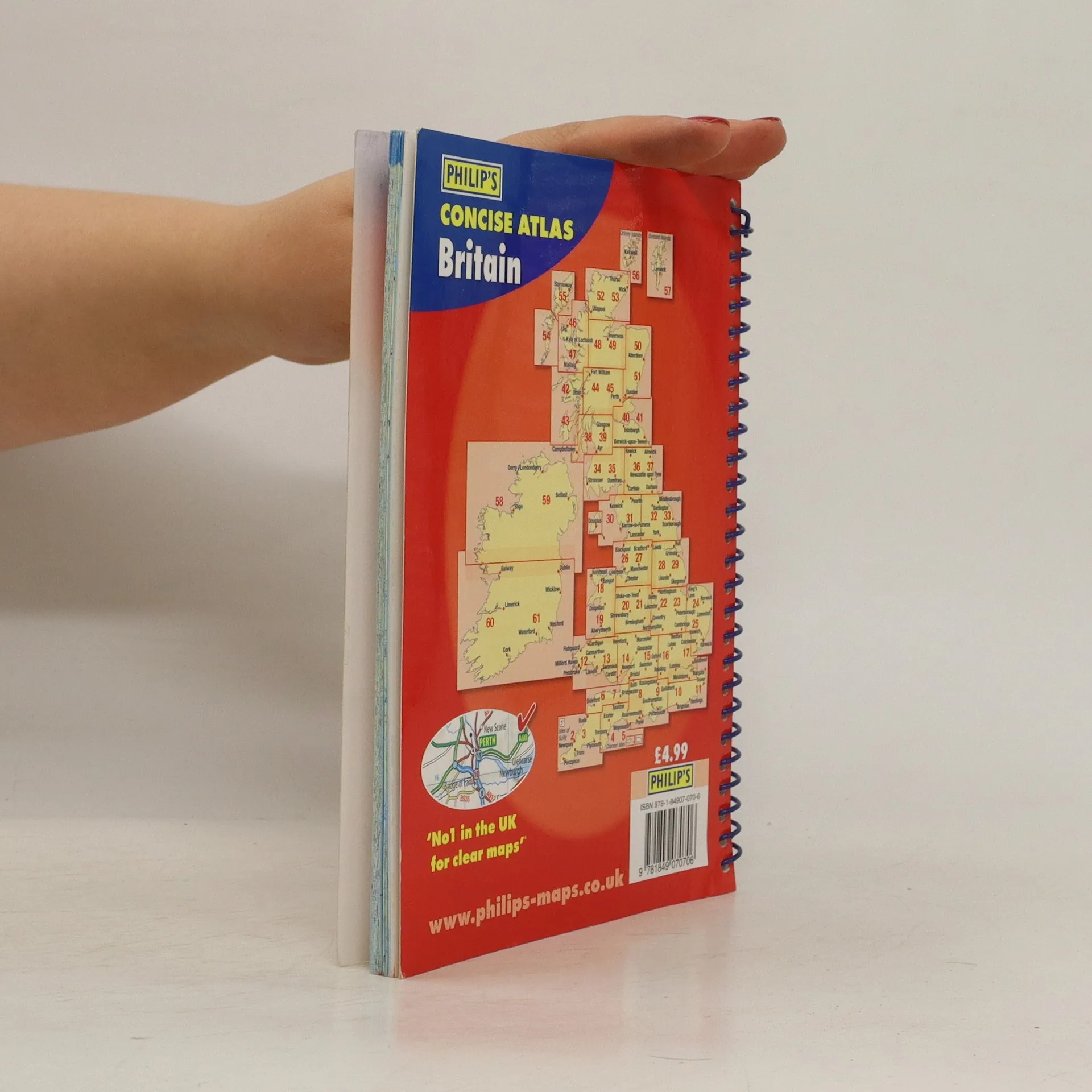
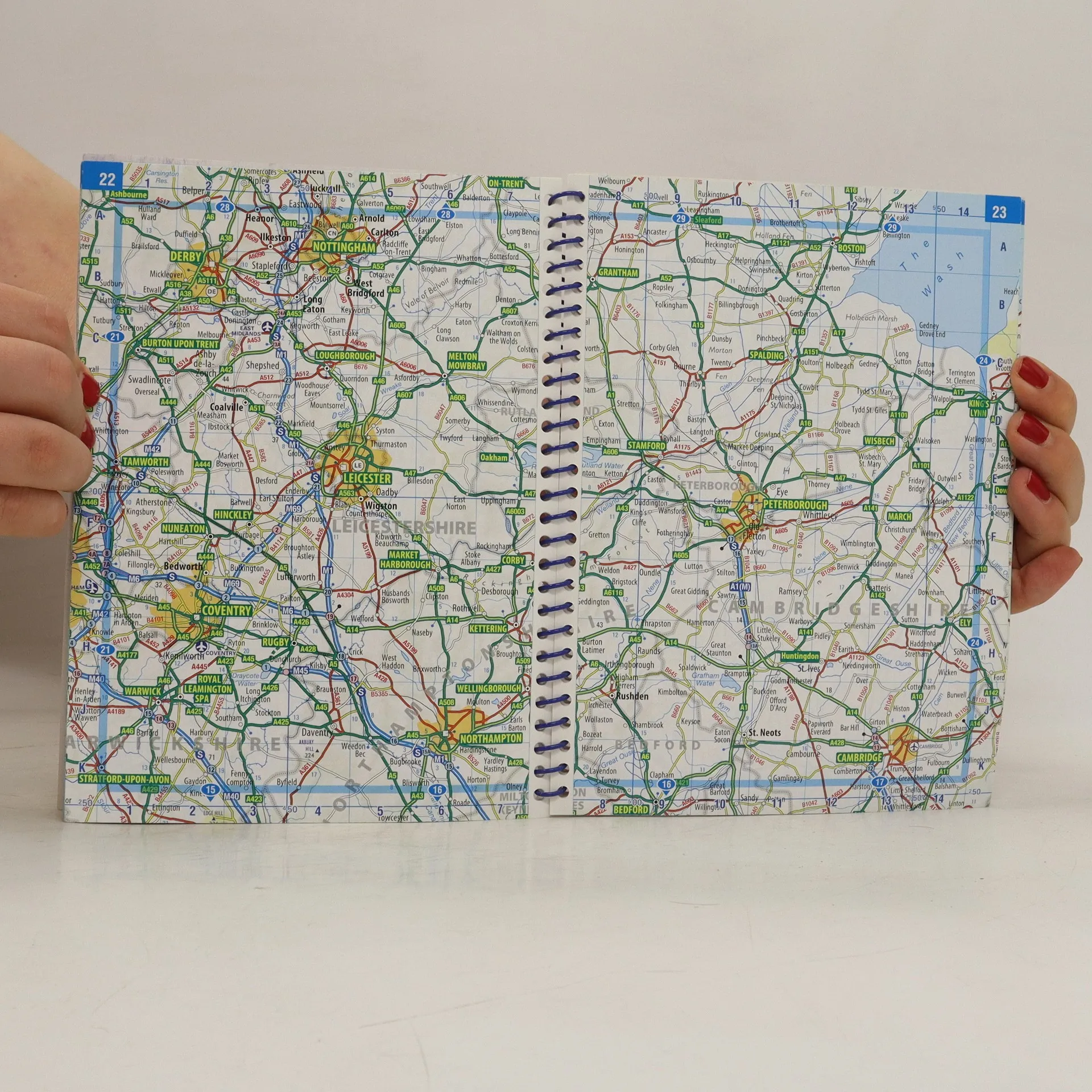
'Philip's Concise Atlas Britain' contains 56 pages of road maps covering Britain at a scale of eight miles to one inch, with Ireland at a scale of 18 miles to one inch. The maps clearly mark all motorways, primary roas and A roads, with national parks, areas of outstanding beauty and hill shading also included.
Achat du livre
Concise Atlas Britain, Collectif d'auteurs
- Langue

- Année de publication
- 2010
- product-detail.submit-box.info.binding
- (spirale)
Nous vous informerons par e-mail dès que nous l’aurons retrouvé.
Modes de paiement
Personne n'a encore évalué .
- Titre
- Concise Atlas Britain
- Langue
- Anglais
- Auteurs
- Collectif d'auteurs
- Éditeur
- Philip's
- Publié
- 2010
- Format
- spirale
- Pages
- 80
- ISBN10
- 1849070709
- ISBN13
- 9781849070706
- Séries
- Mots clés
- Nonfiction, Cartes et voyages, Cartes & Atlas
- Description
- 'Philip's Concise Atlas Britain' contains 56 pages of road maps covering Britain at a scale of eight miles to one inch, with Ireland at a scale of 18 miles to one inch. The maps clearly mark all motorways, primary roas and A roads, with national parks, areas of outstanding beauty and hill shading also included.