


En savoir plus sur le livre
Profusely illustrated throughout with maps on almost every page. The Czech territory is shown by means of contour lines and marked by a figure that states its height above sea level. Digital cartography provides a precise reflection of the landscape. Found are abundant fields around the mountain, meadows and woods crossed by paths, and communities connected by trails, roads and railways. Every single corner of the land bears a local name reflecting the history of the country and its present life. Aerial photographs show distinctive mountain ranges, cascades of water reservoirs and sprawling city agglomerations. Stirring descriptions of the landscape had been left to poets to pursue as maps became the picture of the world. Maps are the subject of this publication, deemed to cast their past and presence. Contents Chapter 1) With Maps, about Maps, Map Collections and Cartography, Chapter 2) Survey of Mapmaking in the Czech Lands Until Beginning of the 20th Century, Chapter 3) Art of Mapmaking as a Sign of Respect and Admiration, Chapter 4) Defense and Conquest, the Importance of Maps in Military Conflicts Over Three Centuries, Chapter 5) From a Region to the World, Maps Capturing the Territorial Metamorphosis, Chapter 6) Maps of the Czech Lands as Rarities of Cartography, Chapter 7) Development and New Aspects of the National and Military Topographical Mapmaking, Bibliography.
Achat du livre
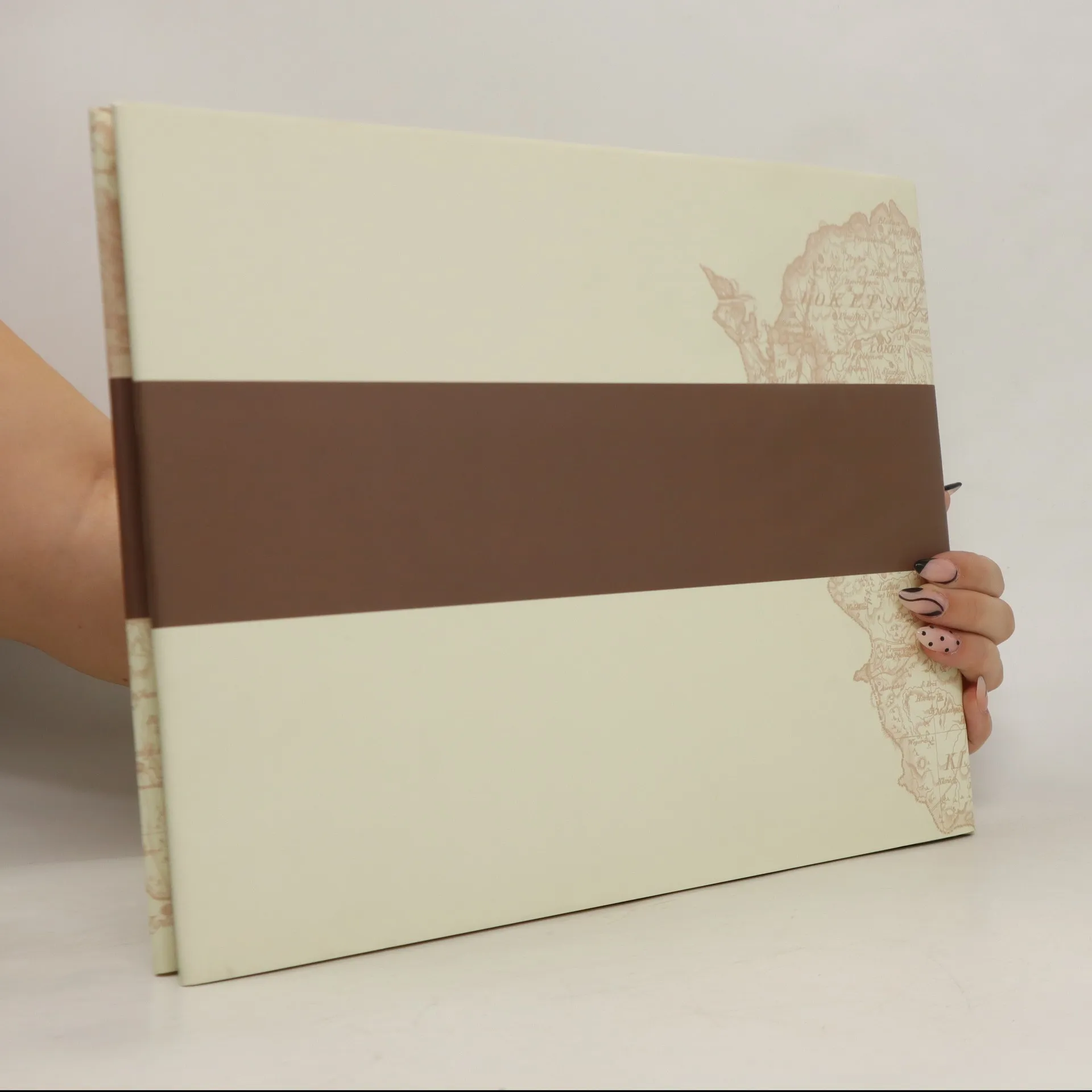
Czech Lands on Early Maps, Eva Semotanová
- Langue

- Année de publication
- 2008
- product-detail.submit-box.info.binding
- (rigide)
Modes de paiement
Personne n'a encore évalué .
- Titre
- Czech Lands on Early Maps
- Langue
- Anglais
- Auteurs
- Eva Semotanová
- Publié
- 2008
- Format
- rigide
- Pages
- 133
- ISBN10
- 8072784668
- ISBN13
- 9788072784660
- Séries
- Mots clés
- Nonfiction, Cartes et voyages, Cartes & Atlas
- Description
- Profusely illustrated throughout with maps on almost every page. The Czech territory is shown by means of contour lines and marked by a figure that states its height above sea level. Digital cartography provides a precise reflection of the landscape. Found are abundant fields around the mountain, meadows and woods crossed by paths, and communities connected by trails, roads and railways. Every single corner of the land bears a local name reflecting the history of the country and its present life. Aerial photographs show distinctive mountain ranges, cascades of water reservoirs and sprawling city agglomerations. Stirring descriptions of the landscape had been left to poets to pursue as maps became the picture of the world. Maps are the subject of this publication, deemed to cast their past and presence. Contents Chapter 1) With Maps, about Maps, Map Collections and Cartography, Chapter 2) Survey of Mapmaking in the Czech Lands Until Beginning of the 20th Century, Chapter 3) Art of Mapmaking as a Sign of Respect and Admiration, Chapter 4) Defense and Conquest, the Importance of Maps in Military Conflicts Over Three Centuries, Chapter 5) From a Region to the World, Maps Capturing the Territorial Metamorphosis, Chapter 6) Maps of the Czech Lands as Rarities of Cartography, Chapter 7) Development and New Aspects of the National and Military Topographical Mapmaking, Bibliography.