

Paramètres
En savoir plus sur le livre
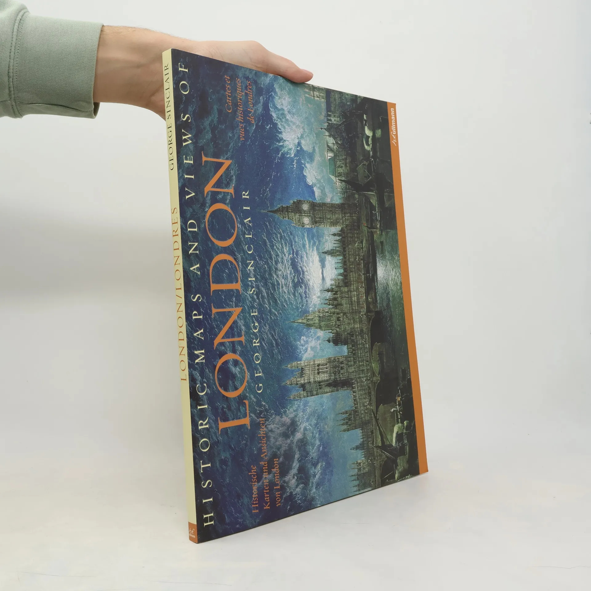
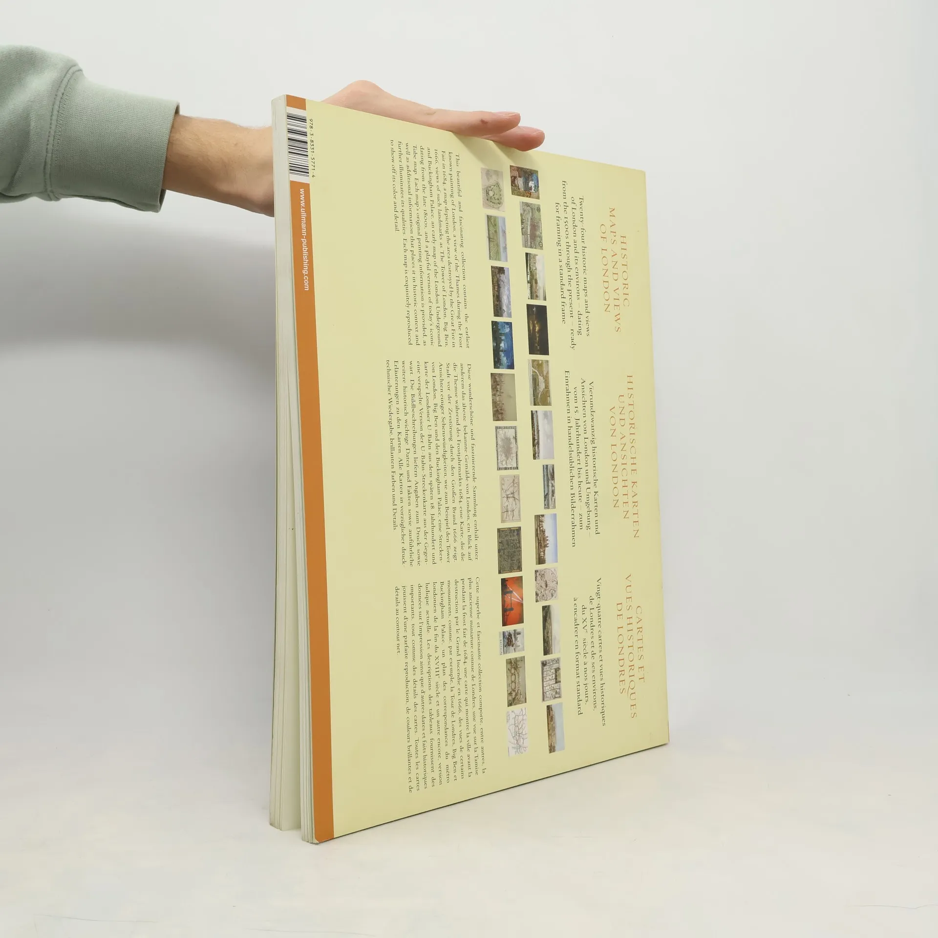
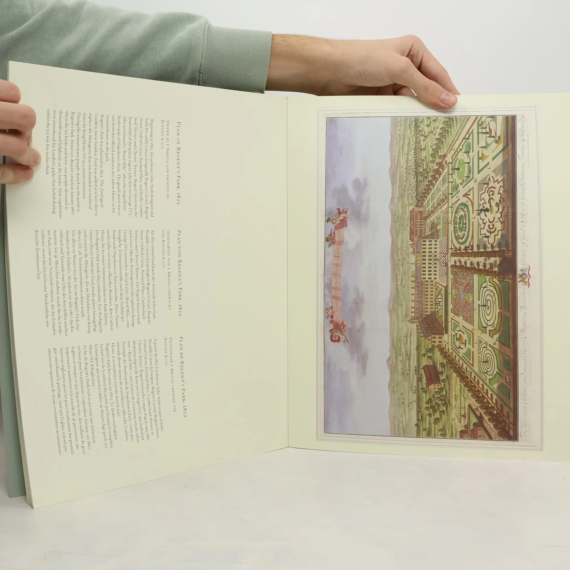
This book features 24 unique and captivating maps and views of London, spanning from the 12th century to the present. It includes some of the earliest known maps, topographical representations, views of iconic locations and monuments, transit maps, and various other types of maps. The images have been meticulously selected by photographic historian George Sinclair, who explored numerous historical collections across Europe to uncover a diverse array of unique and visually intriguing images. Each map or view includes original printing information and is accompanied by brief text that contextualizes the image historically and highlights its significance. Sinclair also offers a thoughtful introduction to the collection. The images are printed on high-quality matte paper and are beautifully reproduced, making them suitable for display in homes, offices, libraries, dorm rooms, or classrooms.
Achat du livre
Historic maps and views of London, George Sinclair
- Langue



- Année de publication
- 2010
Modes de paiement
Il manque plus que ton avis ici.
- Titre
- Historic maps and views of London
- Langue
- Anglais, Allemand, Français
- Auteurs
- George Sinclair
- Éditeur
- Ullmann
- Publié
- 2010
- ISBN10
- 3833157712
- ISBN13
- 9783833157714
- Séries
- Mots clés
- Thème historique, Art
- Évaluation
- 3,8 sur 5
- Description
- This book features 24 unique and captivating maps and views of London, spanning from the 12th century to the present. It includes some of the earliest known maps, topographical representations, views of iconic locations and monuments, transit maps, and various other types of maps. The images have been meticulously selected by photographic historian George Sinclair, who explored numerous historical collections across Europe to uncover a diverse array of unique and visually intriguing images. Each map or view includes original printing information and is accompanied by brief text that contextualizes the image historically and highlights its significance. Sinclair also offers a thoughtful introduction to the collection. The images are printed on high-quality matte paper and are beautifully reproduced, making them suitable for display in homes, offices, libraries, dorm rooms, or classrooms.