

Exactement cet exemplaire ira dans le panier
Paramètres
- 326pages
- 12 heures de lecture
En savoir plus sur le livre
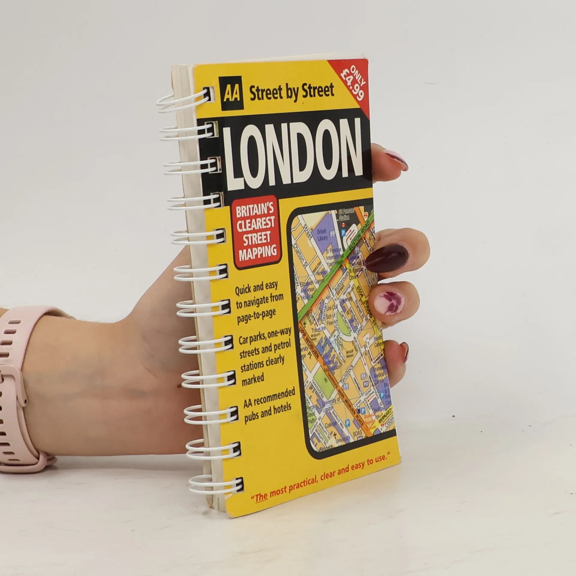
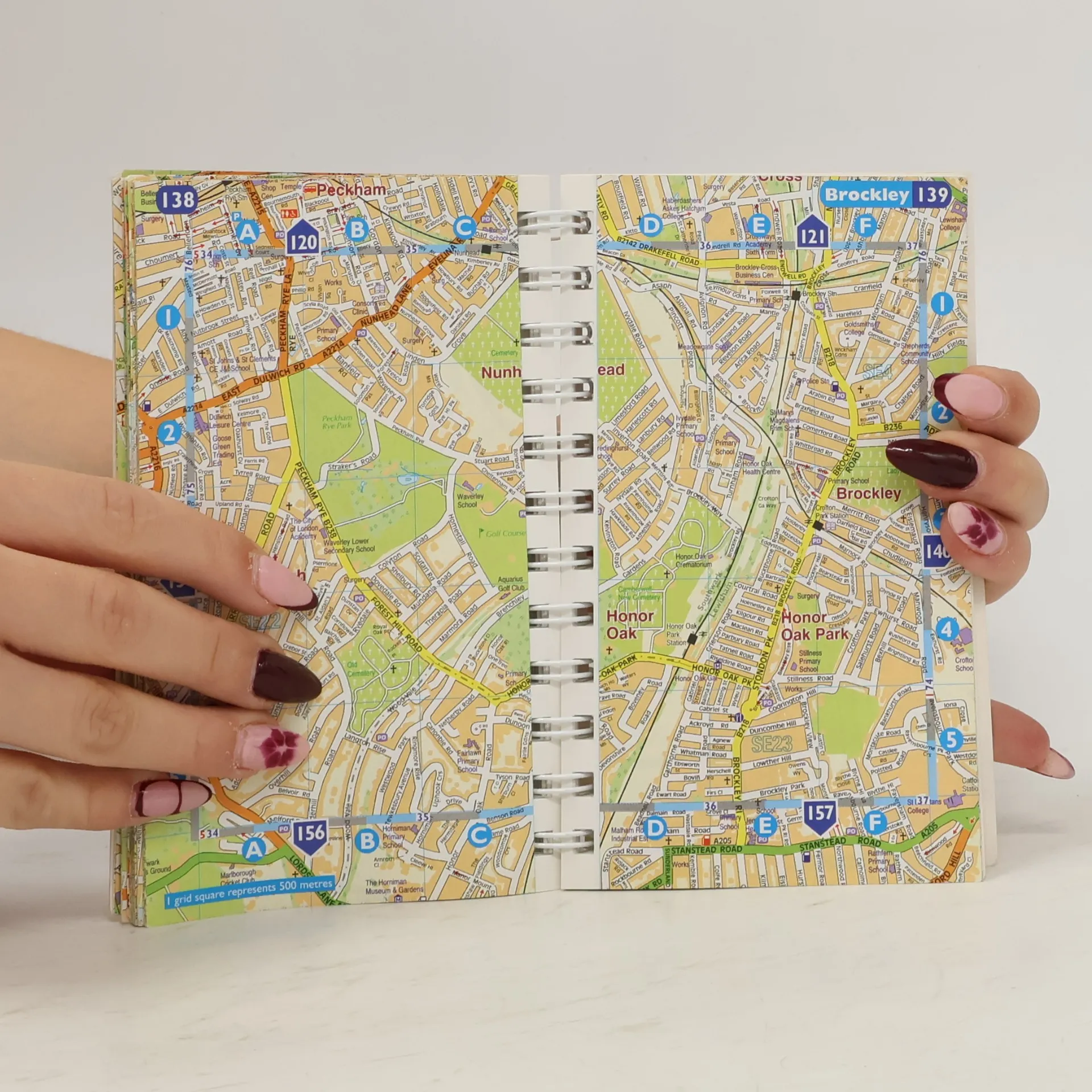
A new edition in the AA's ground breaking series of street atlases, covering London in a handy pocket size. With an enlarged scale for Central London, this really is Britain's clearest street mapping. The atlas uses the latest digital data for Britain from Ordnance Survey and the AA and also includes National Grid Referencing as used by the emergency services. All of the maps clearly show recommended restaurants, hotels, one-way streets and car parks with 24-hour petrol stations now highlighted. Featuring a clever use of colour to ensure they can be read under street lighting, these maps are all you need to keep you on the move.


Achat du livre
AA Street Atlas London Mini, Automobile Association (Great Britain)
- Langue

- Année de publication
- 2005
- Reliure
- (spirale),
- État du livre
- Bon
- Prix
- 5,19 €
Modes de paiement
Personne n'a encore évalué .
- Langue
- Anglais
- Éditeur
- Automobile Association
- Publié
- 2005
- Format
- spirale
- Pages
- 326
- ISBN10
- 0749545283
- ISBN13
- 9780749545284
- Séries
- Mots clés
- Nonfiction, Cartes et voyages, Voyage, Manuels et guides
- Description
- A new edition in the AA's ground breaking series of street atlases, covering London in a handy pocket size. With an enlarged scale for Central London, this really is Britain's clearest street mapping. The atlas uses the latest digital data for Britain from Ordnance Survey and the AA and also includes National Grid Referencing as used by the emergency services. All of the maps clearly show recommended restaurants, hotels, one-way streets and car parks with 24-hour petrol stations now highlighted. Featuring a clever use of colour to ensure they can be read under street lighting, these maps are all you need to keep you on the move.