
Épuisé
En savoir plus sur le livre
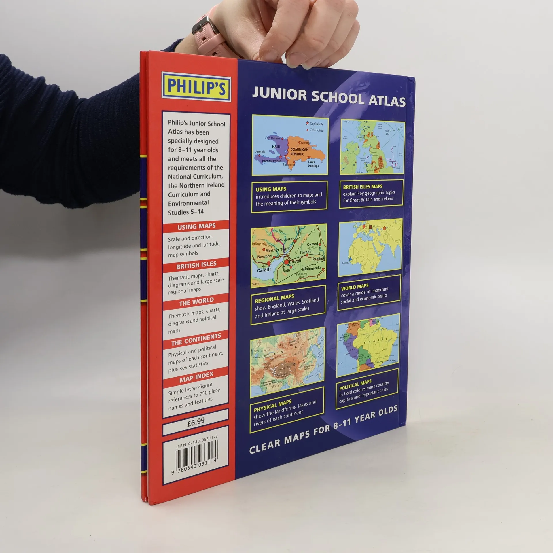
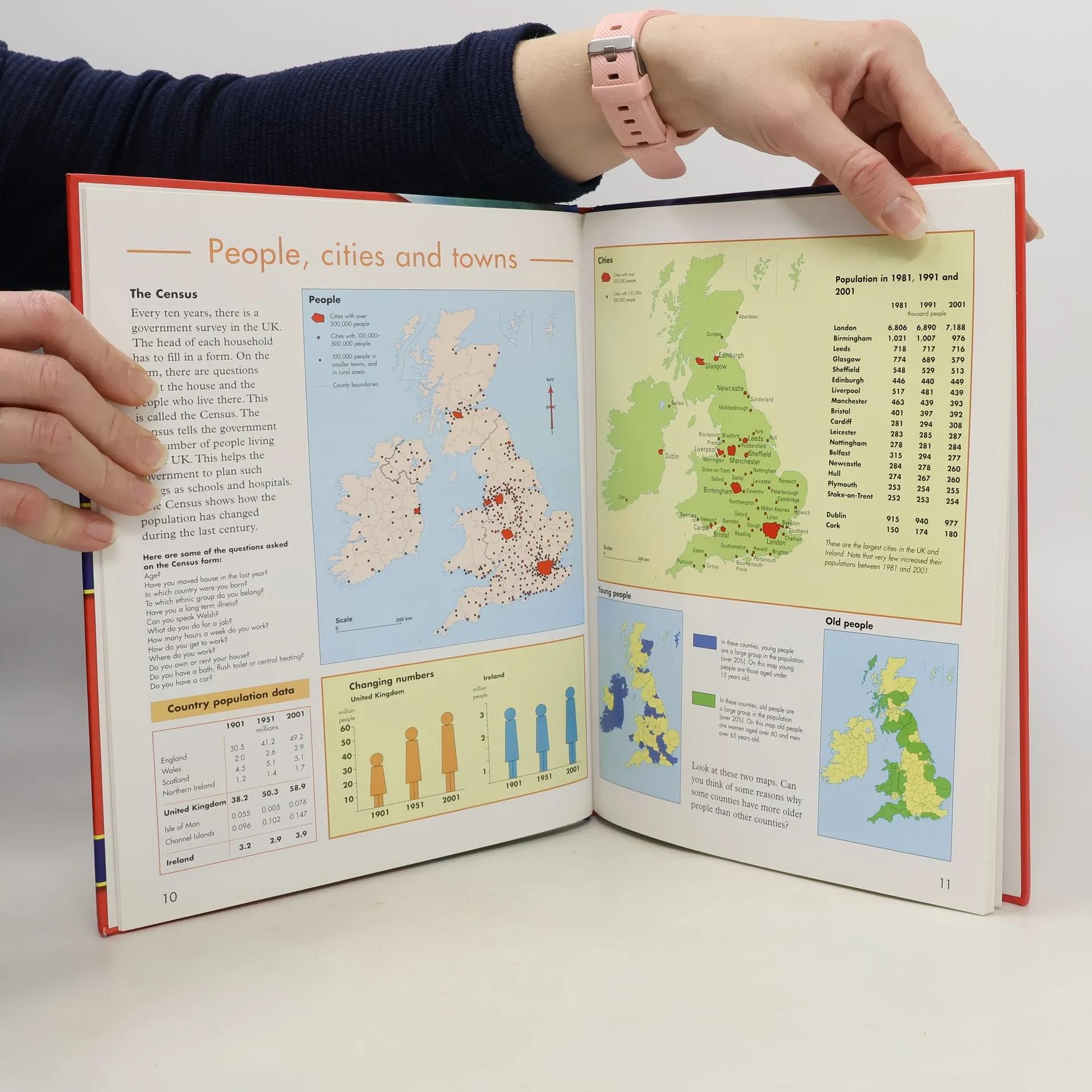
This market-leading school atlas for 8-11 year olds is divided into four sections: Using Maps, British Isles, The World, and The Continents. The maps are brightly coloured and easy to read. The atlas includes numerous thematic maps and graphs covering topics taught at primary school, both for the British Isles and for the World.
Achat du livre
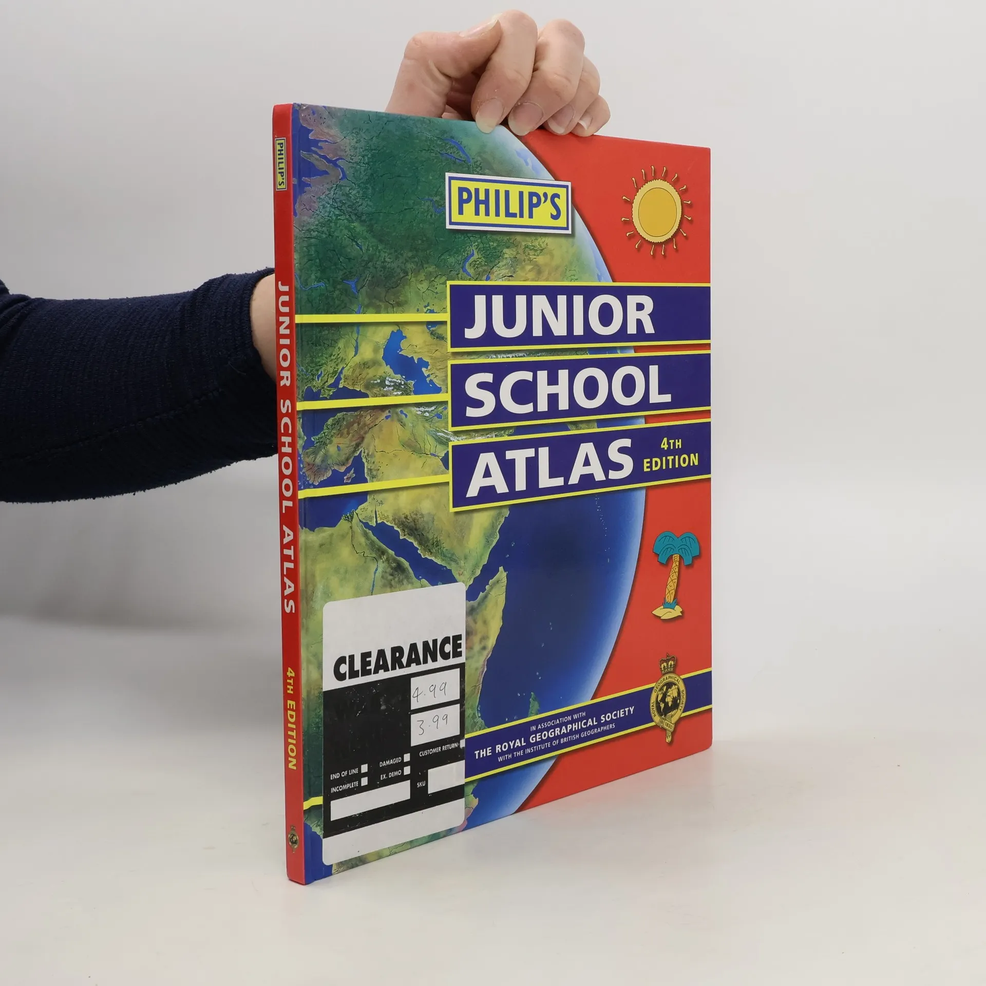
Philip's Junior School Atlas 4th Edition, Collectif d'auteurs
- Langue

- Année de publication
- 2003
- product-detail.submit-box.info.binding
- (rigide)
Nous vous informerons par e-mail dès que nous l’aurons retrouvé.
Modes de paiement
Personne n'a encore évalué .
- Titre
- Philip's Junior School Atlas 4th Edition
- Langue
- Anglais
- Auteurs
- Collectif d'auteurs
- Éditeur
- Octopus Publishing Group
- Publié
- 2003
- Format
- rigide
- Pages
- 64
- ISBN10
- 0540083119
- ISBN13
- 9780540083114
- Séries
- Description
- This market-leading school atlas for 8-11 year olds is divided into four sections: Using Maps, British Isles, The World, and The Continents. The maps are brightly coloured and easy to read. The atlas includes numerous thematic maps and graphs covering topics taught at primary school, both for the British Isles and for the World.