
Épuisé, mais très demandé!
En savoir plus sur le livre
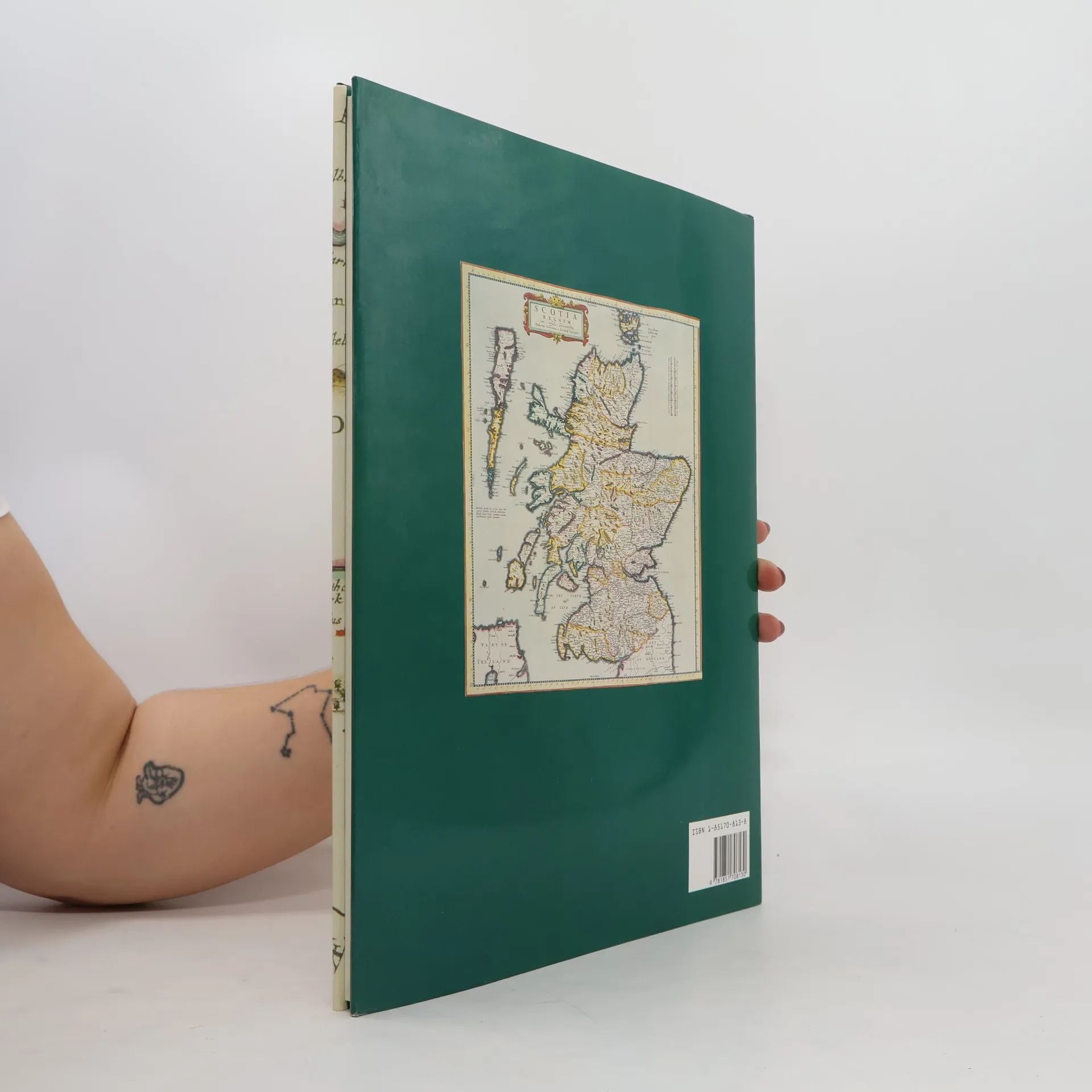
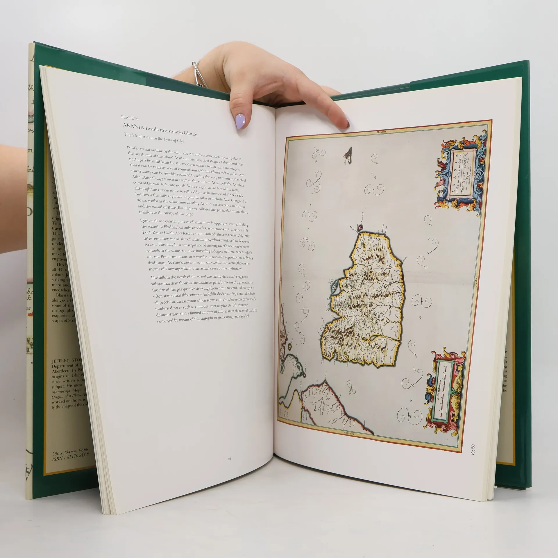
Bound in the publisher's original green cloth over boards, spine stamped in gilt. With frontis and 46 full color plates and illustrations throughout.
Achat du livre
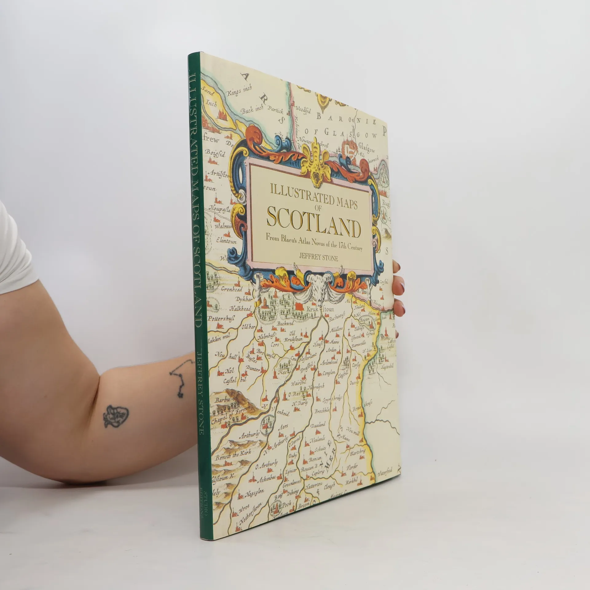
Illustrated Maps of Scotland, Jeffrey Stone
- Langue

- Année de publication
- 1991
- product-detail.submit-box.info.binding
- (rigide)
Nous vous informerons par e-mail dès que nous l’aurons retrouvé.
Modes de paiement
Il manque plus que ton avis ici.
- Titre
- Illustrated Maps of Scotland
- Sous-titre
- From Blaeu's Atlas Novus of the 17th Century
- Langue
- Anglais
- Auteurs
- Jeffrey Stone
- Éditeur
- Studio Editions
- Publié
- 1991
- Format
- rigide
- ISBN10
- 1851708138
- ISBN13
- 9781851708130
- Séries
- Mots clés
- Nonfiction, Thème historique, Histoire, Cartes et voyages, Cartes & Atlas
- Évaluation
- 3 sur 5
- Description
- Bound in the publisher's original green cloth over boards, spine stamped in gilt. With frontis and 46 full color plates and illustrations throughout.