Épuisé
En savoir plus sur le livre
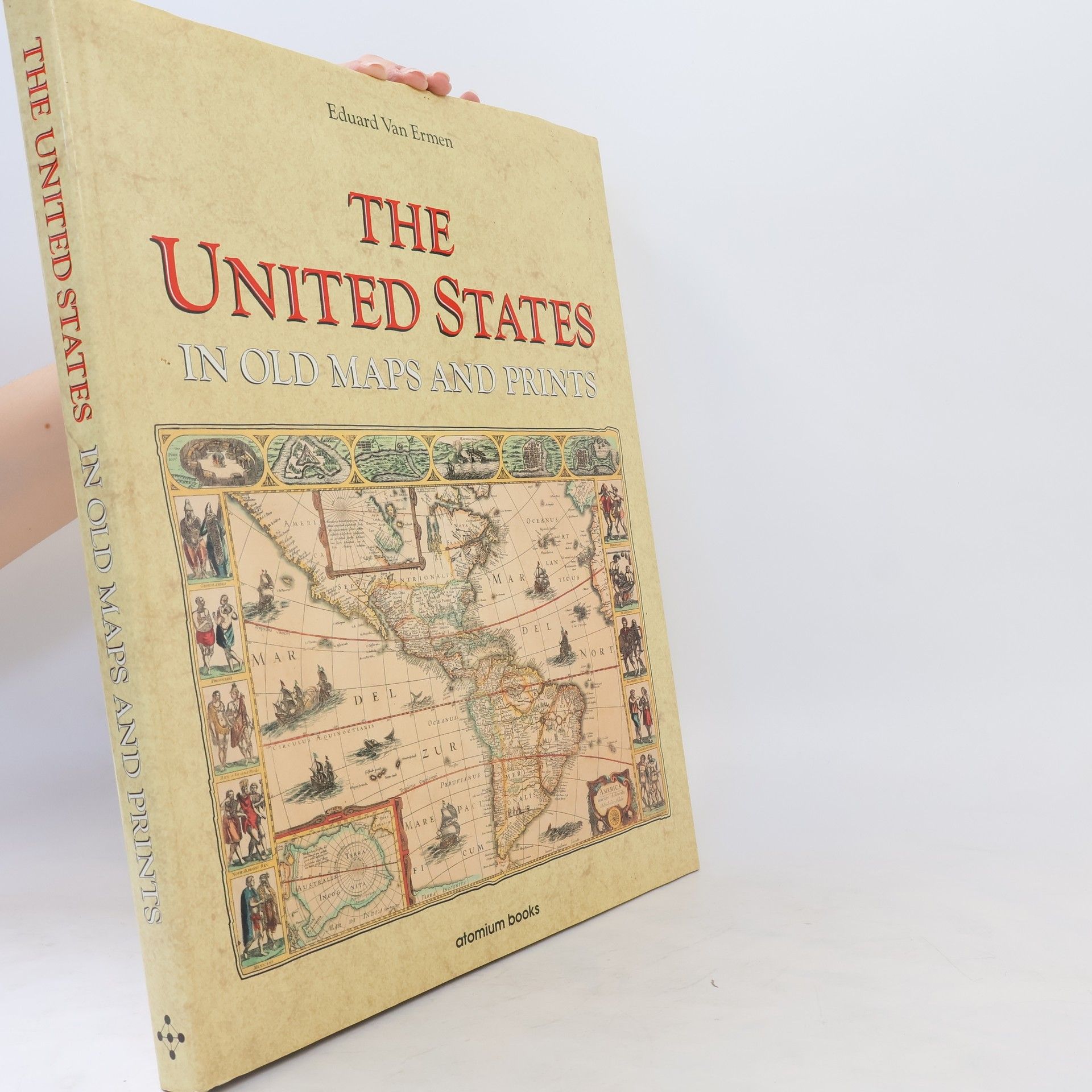
Contains 78 color maps of North America found searching through medieval libraries and museums. Includes military maps along with panoramic views of the old Southern towns drawn by soldiers in the Civil War
Achat du livre
The United States in Old Maps and Prints, Eduard van Ermen
- Langue
- Année de publication
- 1990
- product-detail.submit-box.info.binding
- (rigide)
Nous vous informerons par e-mail dès que nous l’aurons retrouvé.
Modes de paiement
Personne n'a encore évalué .
