

Exactement cet exemplaire ira dans le panier
En savoir plus sur le livre
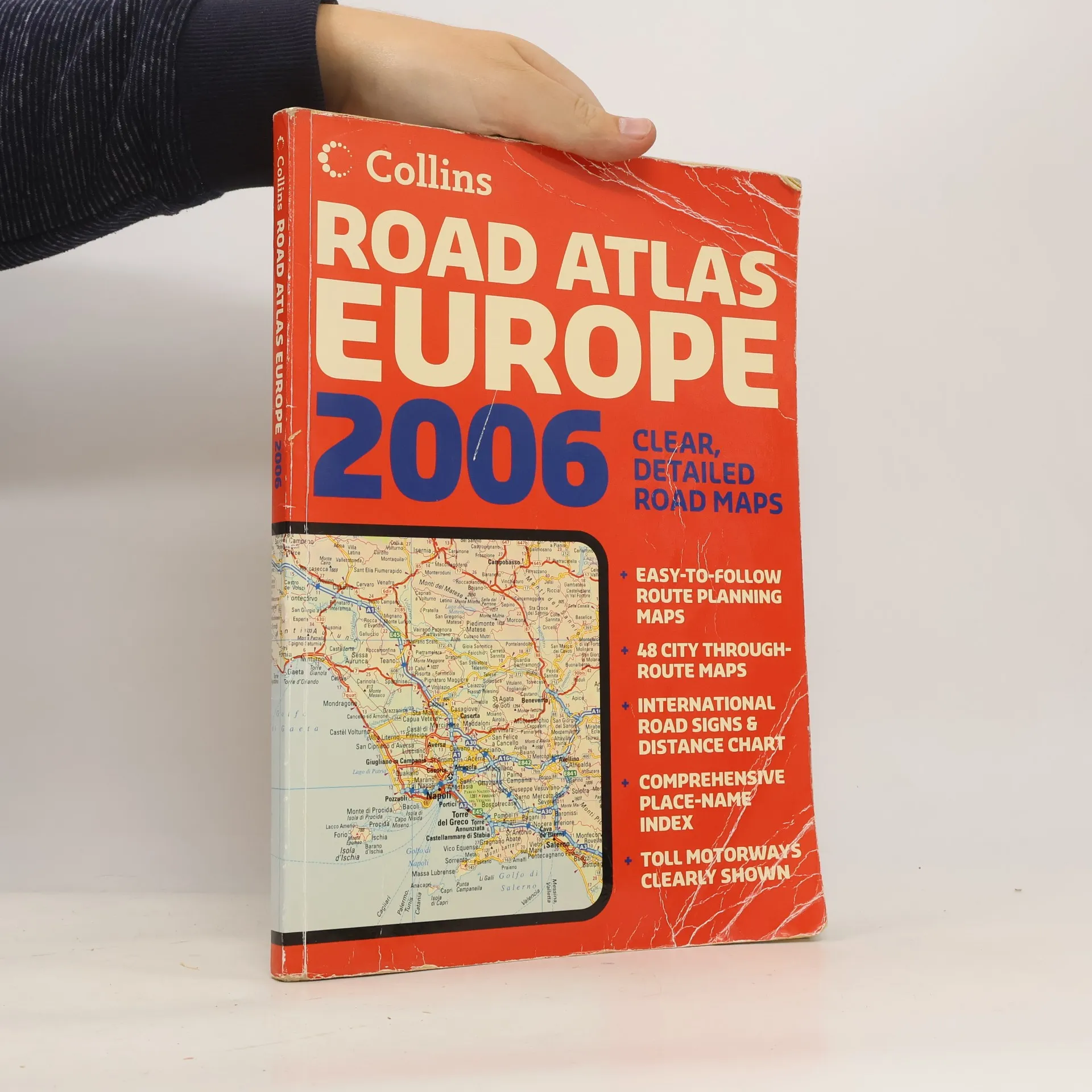
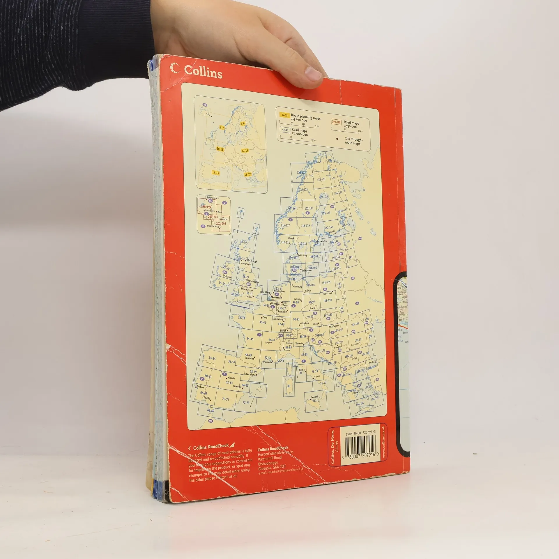
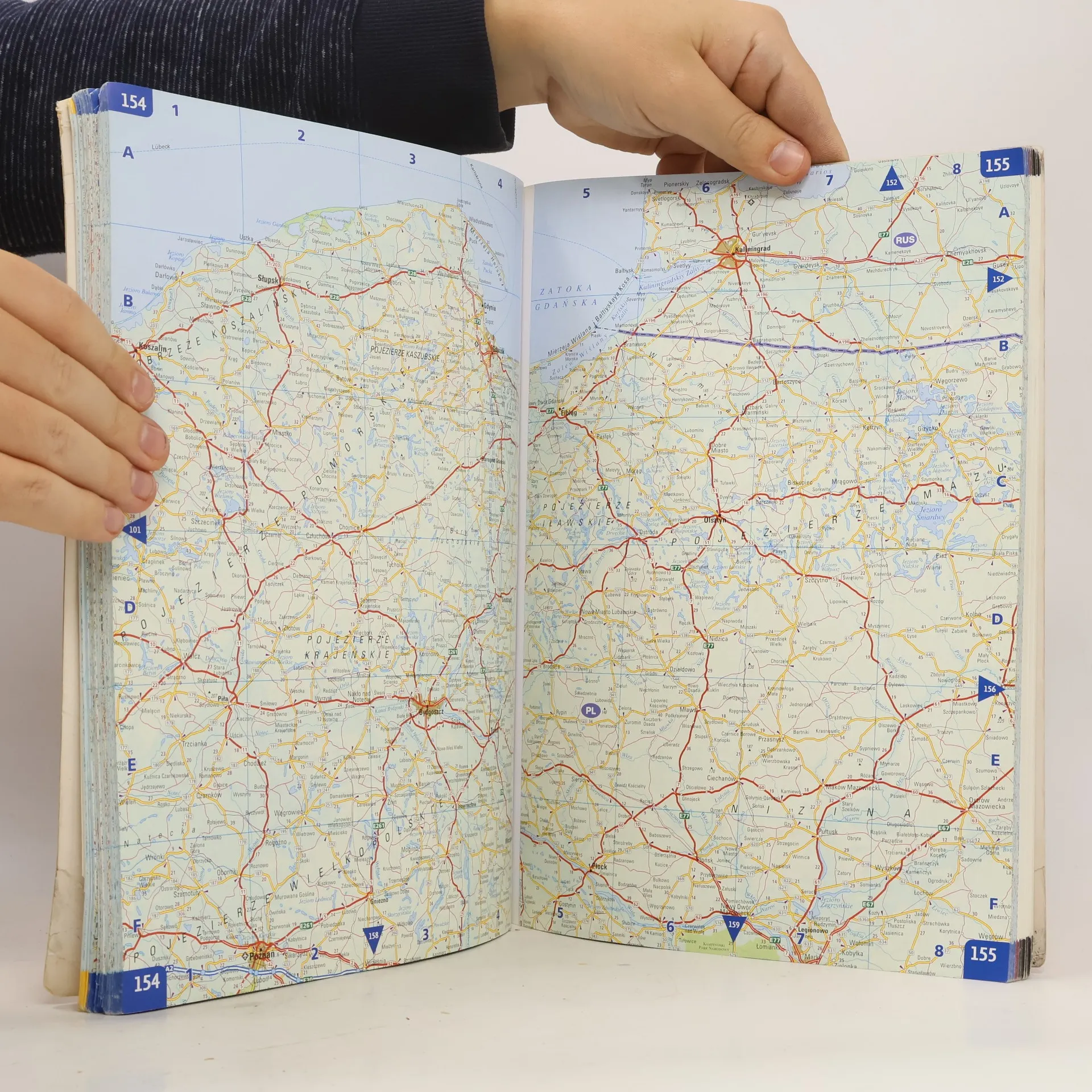
A4 formatScale 1:1 000 000 (1 cm to 10 kms / 1 inch to 16 miles)A fully revised edition of A4 paperback road atlas containing road mapping, route planning maps, large scale road maps of the Ruhr and Rhine, city through route maps and a comprehensive place names index.
Achat du livre
Collins Road Atlas Europe 2006,
- Langue
- Année de publication
- 2006
- Reliure
- (souple),
- État du livre
- Abîmé
- Prix
- 6,09 €
Modes de paiement
Personne n'a encore évalué .
- Titre
- Collins Road Atlas Europe 2006
- Sous-titre
- Clear, Detailed Road Maps - Easy-To-Follow Route Planning Maps - 48 City Through-Route Maps - International Road Signs & Distance Chart - Comprehensive Place-Name Index - Toll Motorways Clearly Shown
- Auteurs
- Éditeur
- Collins
- Publié
- 2006
- Format
- souple
- Pages
- 280
- ISBN10
- 0007207913
- ISBN13
- 9780007207916
- Séries
- Mots clés
- Voyage, Manuels et guides, Europe, Atlas, Atlas automobile
- Description
- A4 formatScale 1:1 000 000 (1 cm to 10 kms / 1 inch to 16 miles)A fully revised edition of A4 paperback road atlas containing road mapping, route planning maps, large scale road maps of the Ruhr and Rhine, city through route maps and a comprehensive place names index.